
无人机基础设施病害巡检裂缝数据集
收藏数据链接:
官方服务:
资源简介:
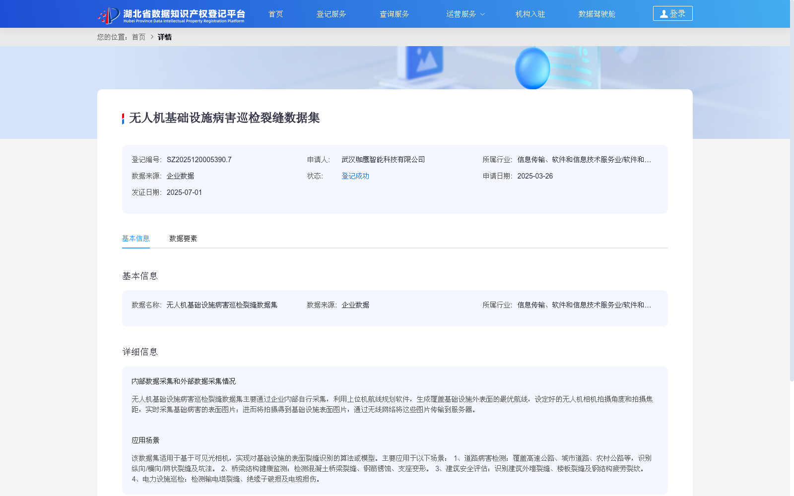
无人机基础设施病害巡检裂缝数据集主要通过企业内部自行采集,利用上位机航线规划软件,生成覆盖基础设施外表面的最优航线,设定好的无人机相机拍摄角度和拍摄焦距,实时采集基础病害的表面图片;进而将拍摄得到基础设施表面图片,通过无线网络将这些图片传输到服务器。
This crack dataset for infrastructure defect inspection via unmanned aerial vehicles (UAVs) is mainly collected through internal enterprise channels. Specifically, host computer-based route planning software is used to generate optimal flight routes covering the external surfaces of the target infrastructure. With pre-set camera shooting angles and focal lengths of the UAV, surface images of infrastructure defects are captured in real time. Afterwards, these captured surface images of the infrastructure are transmitted to the server via wireless networks.
提供机构:
武汉珈鹰智能科技有限公司创建时间:
2025-03-26
搜集汇总
数据集介绍
以上内容由遇见数据集搜集并总结生成


