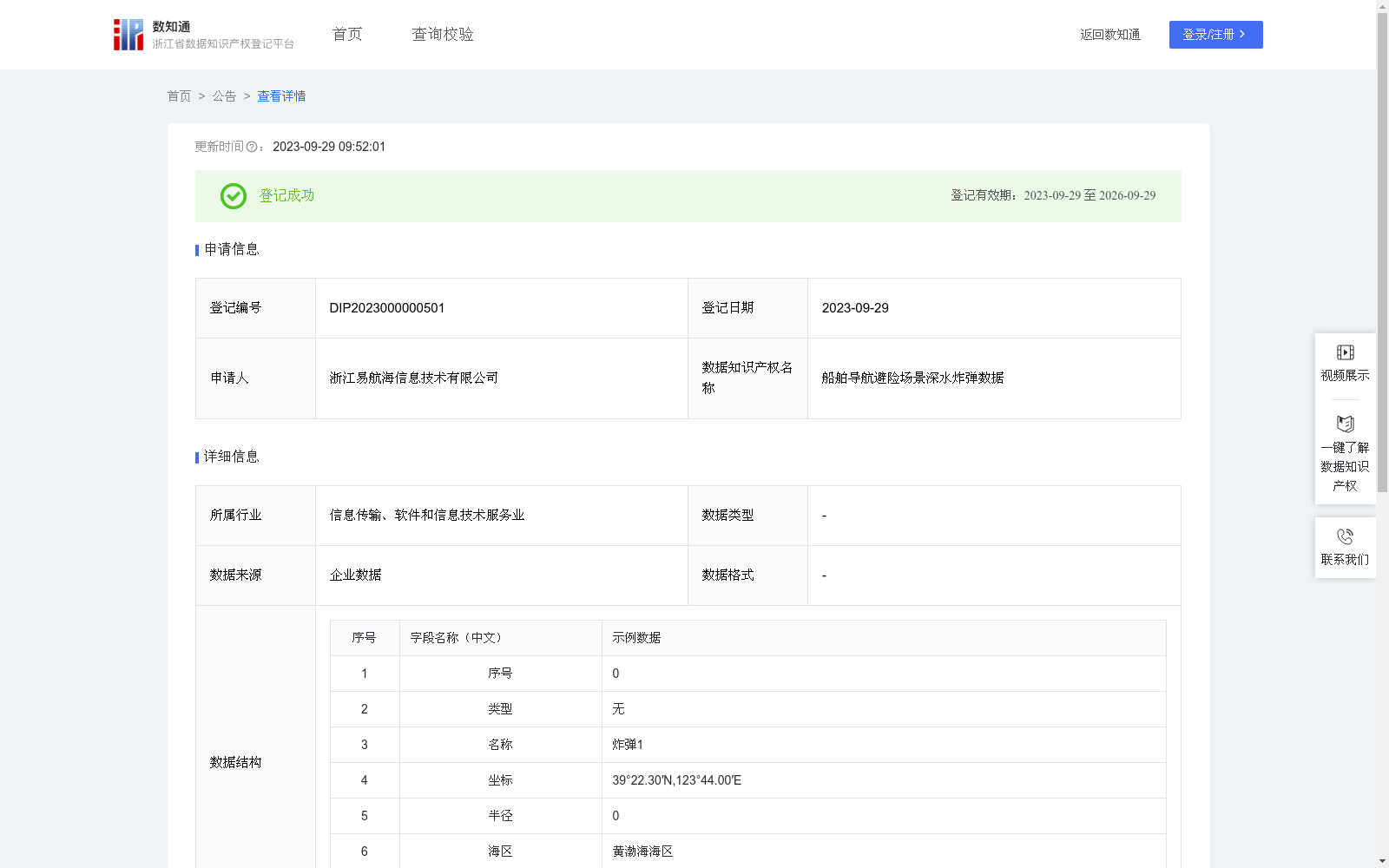
船舶导航避险场景深水炸弹数据
收藏资源简介:
船舶导航应用中,对当前船舶一定范围内的深水炸弹进行自动识别,可在海图中标记出现,并对船舶进行文字提醒,可减少船舶在航行中的事故发生率。深水炸弹中的坐标和半径为geom数据,主要对geom数据进行加工处理,数据存储为WKT格式,WKT格式由两部分组成,一部分描述空间几何对象的类型和坐标系信息(例:LINESTRING (x1 y1, x2 y2, ..., xn yn)),另一部分则是空间几何对象的坐标点的序列,系统通过坐标类型的枚举匹配识别出当前WKT的对象类型,然后根据对象类型对其包含的空间信息进行二次处理,根据点、线、面、多线、多面等情况进行处理后生成经纬度列表数据list。在实际应用中,航行船舶可看作一个点,list的经纬度点组成一个面,航行船舶可看作一个点,list的经纬度点作为一个面,根据射线法判断两个面是否相交,射线法主要思想是从一个点(通常是多边形的重心)发出一条射线,然后计算这条射线穿过多边形的边数。如果穿过的边数为奇数,则这个点在多边形内部;反之则在多边形外部。结合船舶航行的角度和速度,从所有数据中计算出对船舶存在影响的深水炸弹数据。
Marine navigation applications can automatically identify depth charges within a certain range of the current vessel, mark them on nautical charts, and send text alerts to the vessel, thereby reducing the accident rate during navigation. Coordinates and radius of depth charges are stored as geometry (geom) data, which is primarily processed and stored in Well-Known Text (WKT) format. WKT consists of two parts: one part describes the type and coordinate system information of spatial geometric objects (e.g., LINESTRING (x1 y1, x2 y2, ..., xn yn)), and the other part is the sequence of coordinate points of the spatial geometric object. The system identifies the object type of the current WKT via enumeration matching of coordinate types, then performs secondary processing on the spatial information contained therein. It generates a list of longitude-latitude coordinate data by handling cases such as points, lines, polygons, multi-lines, and multi-polygons. In practical applications, a navigating vessel can be regarded as a point, while the longitude-latitude points in the list form a polygon. A navigating vessel can be regarded as a point, and the longitude-latitude points in the list serve as a polygon. The ray-casting algorithm is used to determine whether the two polygons intersect. The core idea of the ray-casting algorithm is to emit a ray from a point (usually the centroid of the polygon), then calculate the number of edges of the polygon that the ray crosses. If the number of crossed edges is odd, the point is inside the polygon; otherwise, it is outside the polygon. Combining the navigation angle and speed of the vessel, depth charge data that poses a threat to the vessel is screened out from all collected data.