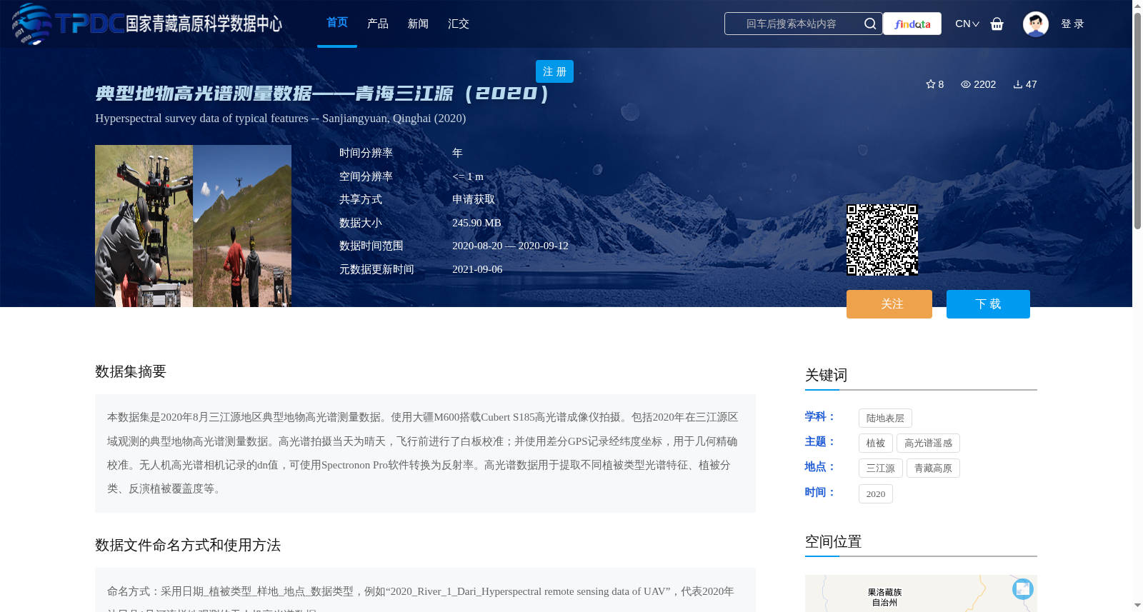
典型地物高光谱测量数据——青海三江源(2020)
收藏资源简介:
本数据集是2020年8月三江源地区典型地物高光谱测量数据。使用大疆M600搭载Cubert S185高光谱成像仪拍摄。包括2020年在三江源区域观测的典型地物高光谱测量数据。高光谱拍摄当天为晴天,飞行前进行了白板校准;并使用差分GPS记录经纬度坐标,用于几何精确校准。无人机高光谱相机记录的dn值,可使用Spectronon Pro软件转换为反射率。高光谱数据用于提取不同植被类型光谱特征、植被分类、反演植被覆盖度等。
This dataset contains hyperspectral measurement data of typical surface features in the Three-River Source Region collected in August 2020. The data was acquired using a DJI M600 unmanned aerial vehicle (UAV) equipped with a Cubert S185 hyperspectral imager. All hyperspectral imaging sessions were conducted on sunny days, with whiteboard calibration performed prior to each flight. Differential GPS was utilized to record latitude and longitude coordinates for precise geometric calibration. The digital number (DN) values recorded by the UAV-borne hyperspectral camera can be converted to surface reflectance using the Spectronon Pro software. This hyperspectral dataset can be applied to extract spectral characteristics of different vegetation types, perform vegetation classification, invert vegetation coverage, and other related research tasks.