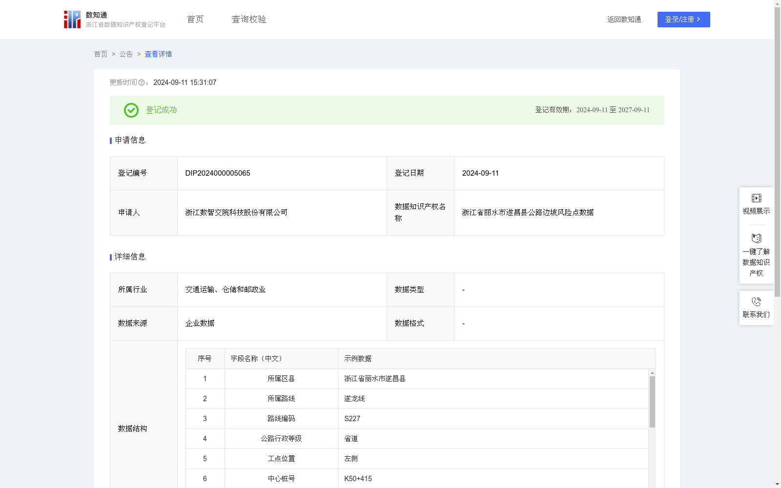
浙江省丽水市遂昌县公路边坡风险点数据
收藏资源简介:
浙江省丽水市遂昌县各级公路边坡风险点数据可用于日常各等级公路灾害预防、巡检养护和应急管理等多场景中,是从灾害救助向灾前预防转变、从减少灾害损失向减轻灾害风险转变的重要数据基础,根据此数据,管理者和决策者可以全面掌握遂昌县域内公路自然灾害风险底数和风险分布情况。通过人工采集到的公路边坡基础数据,首先对边坡的类型进行确定,根据边坡的不同类型(根据岩质边坡、土质边坡等不同参数,区分出高路堤、高边坡、高挡墙等)、所处公路行政等级E、是否发生过灾害、灾害频次A、历史危害程度B、处治情况C、灾害发育程度D等信息,按照风险评估指标要求,采取指标体系法确定风险指数CRI,CRI=A×γ1+B×γ2+C×γ3+D×γ4+E×γ5,当CRI>83,风险等级为一级(重大),当62<CRI≤83,风险等级为二级(较大),当48<CRI≤62,风险等级为三级(一般),当CRI≤48,风险等级为四级(低)。
The road slope risk point dataset of Suichang County, Lishui City, Zhejiang Province can be applied to multiple scenarios including daily highway disaster prevention, inspection and maintenance, and emergency management for roads of all grades. It serves as a critical data foundation for the transformation from post-disaster relief to pre-disaster prevention, and from reducing disaster losses to mitigating disaster risks. Based on this dataset, managers and decision-makers can fully grasp the baseline and distribution of natural disaster risks for highways within Suichang County. Starting with manually collected basic road slope data, the slope type is first identified. According to different slope types (classified into high embankments, high slopes, high retaining walls, etc., based on parameters such as rocky slopes and soil slopes), as well as information including the highway administrative grade (denoted as E), whether disasters have occurred, disaster frequency (A), historical hazard severity (B), treatment status (C), and disaster development degree (D), the risk index CRI is calculated via the indicator system method in line with risk assessment indicator requirements. The formula for CRI is: CRI = A×γ1 + B×γ2 + C×γ3 + D×γ4 + E×γ5. The risk levels are categorized as follows: Level I (severe) when CRI > 83; Level II (considerable) when 62 < CRI ≤ 83; Level III (moderate) when 48 < CRI ≤ 62; and Level IV (low) when CRI ≤ 48.