神马勘测自然资源信息管理模型
收藏资源简介:
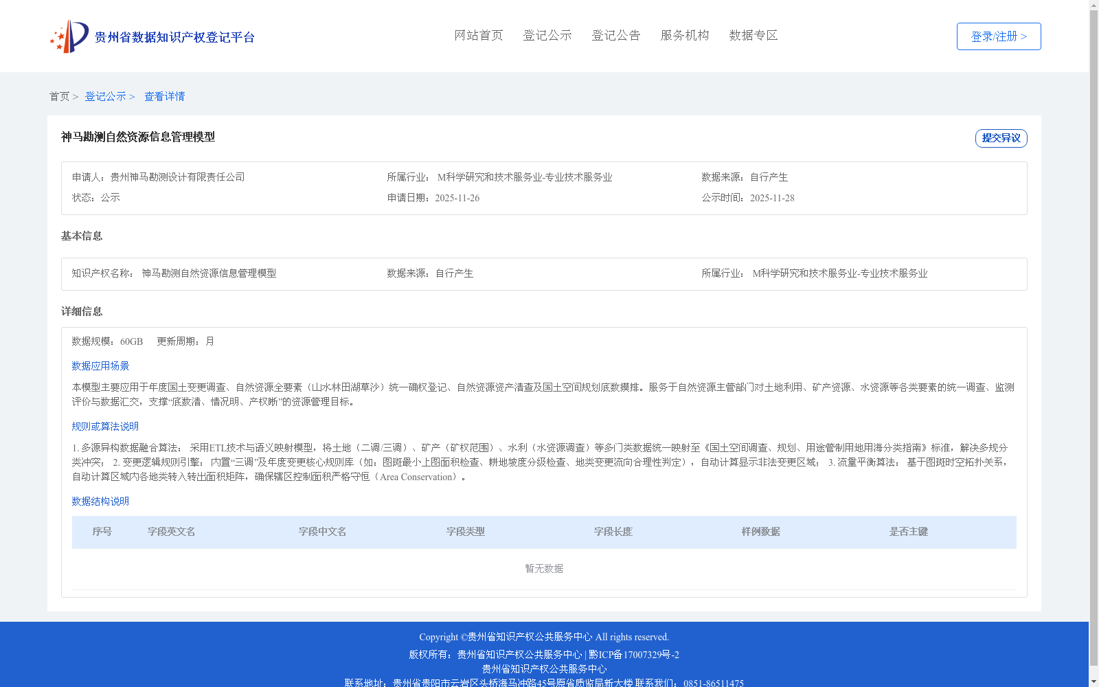
1. 多源异构数据融合算法: 采用ETL技术与语义映射模型,将土地(二调/三调)、矿产(矿权范围)、水利(水资源调查)等多门类数据统一映射至《国土空间调查、规划、用途管制用地用海分类指南》标准,解决多规分类冲突; 2. 变更逻辑规则引擎: 内置“三调”及年度变更核心规则库(如:图斑最小上图面积检查、耕地坡度分级检查、地类变更流向合理性判定),自动计算显示非法变更区域; 3. 流量平衡算法: 基于图斑时空拓扑关系,自动计算区域内各地类转入转出面积矩阵,确保辖区控制面积严格守恒(Area Conservation)。
1. Multi-source Heterogeneous Data Fusion Algorithm: Adopting ETL technology and semantic mapping models, this algorithm uniformly maps multi-category data including land (Second/Third National Land Survey), mineral resources (mineral right scope), water conservancy (water resource survey) to the standard specified in *Guidelines for Land and Sea Classification for National Spatial Survey, Planning and Use Regulation*, so as to resolve classification conflicts across multiple planning schemes. 2. Change Logic Rule Engine: With a built-in core rule base for the Third National Land Survey and annual land use changes (e.g., minimum mapping area check for land plots, slope grading check for cultivated land, rationality judgment of land use type change flow direction), it automatically calculates and displays illegally changed regions. 3. Flow Balance Algorithm: Based on the spatiotemporal topological relationships of land plots, it automatically calculates the inflow and outflow area matrix of each land use type within the jurisdiction, strictly ensuring the conservation of the controlled area of the jurisdiction (Area Conservation).