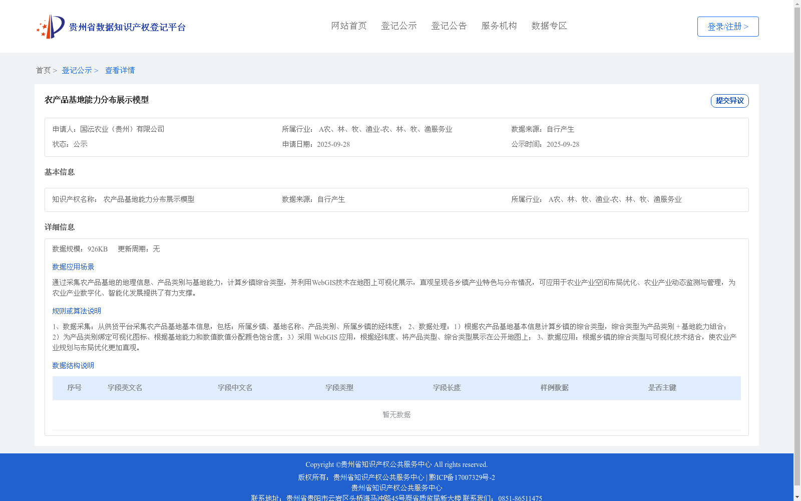
农产品基地能力分布展示模型
收藏资源简介:
1、数据采集:从供货平台采集农产品基地基本信息,包括:所属乡镇、基地名称、产品类别、所属乡镇的经纬度; 2、数据处理:1)根据农产品基地基本信息计算乡镇的综合类型,综合类型为产品类别 + 基地能力组合;2)为产品类别绑定可视化图标、根据基地能力和数值数值分配颜色饱合度;3)采用 WebGIS 应用,根据经纬度、将产品类型、综合类型展示在公开地图上; 3、数据应用:根据乡镇的综合类型与可视化技术结合,使农业产业规划与布局优化更加直观。
1. Data Collection: Collect basic information of agricultural product bases from supply platforms, including the affiliated township, base name, product category, and the longitude and latitude of the affiliated township; 2. Data Processing: 1) Calculate the comprehensive type of townships based on the basic information of agricultural product bases, where the comprehensive type is a combination of product category and base capability; 2) Bind visual icons to product categories, and assign color saturation based on the base capability and its numerical value; 3) Adopt WebGIS applications to display product types and comprehensive types on public maps based on longitude and latitude; 3. Data Application: Combine the comprehensive types of townships with visualization technologies to make agricultural industrial planning and layout optimization more intuitive.