九寨沟世界自然遗产边界区域遥感监测数据集
收藏资源简介:
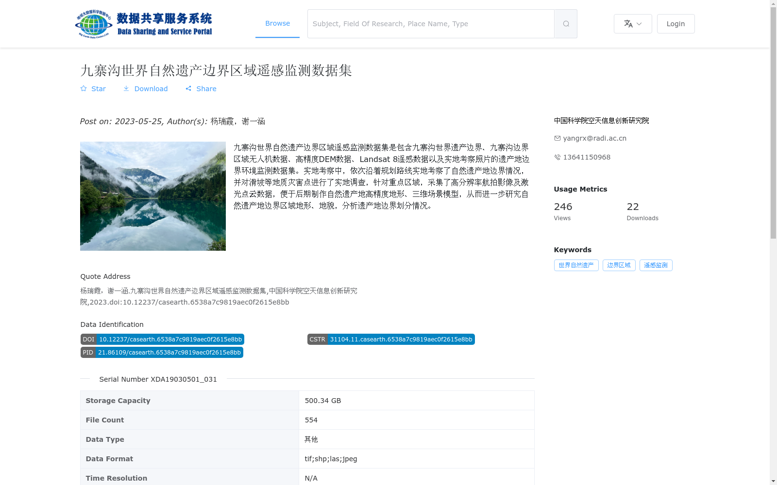
九寨沟世界自然遗产边界区域遥感监测数据集是包含九寨沟世界遗产边界、九寨沟边界区域无人机数据、高精度DEM数据、Landsat 8遥感数据以及实地考察照片的遗产地边界环境监测数据集。实地考察中,依次沿着规划路线实地考察了自然遗产地边界情况,并对滑坡等地质灾害点进行了实地调查,针对重点区域,采集了高分辨率航拍影像及激光点云数据,便于后期制作自然遗产地高精度地形、三维场景模型,从而进一步研究自然遗产地边界区域地形、地貌,分析遗产地边界划分情况。
The Remote Sensing Monitoring Dataset for the Border Area of Jiuzhaigou World Natural Heritage Site is an environmental monitoring dataset dedicated to boundary monitoring of the heritage site, covering the boundary of the Jiuzhaigou World Heritage Site, unmanned aerial vehicle (UAV) data of the Jiuzhaigou border region, high-precision DEM data, Landsat 8 remote sensing data, and field survey photographs. During on-site investigations, the boundary status of the natural heritage site was inspected sequentially along the pre-planned survey route, and geological hazard points such as landslides were surveyed in situ. For key areas, high-resolution aerial imagery and LiDAR point cloud data were collected, which supports the subsequent construction of high-precision terrain and 3D scene models of the natural heritage site, enabling further research on the topography and geomorphology of the border area of the natural heritage site and the analysis of the heritage site's boundary delineation.