
UAV-Based VNIR Hyperspectral Benchmark Dataset for Landmine and UXO Detection
收藏资源简介:
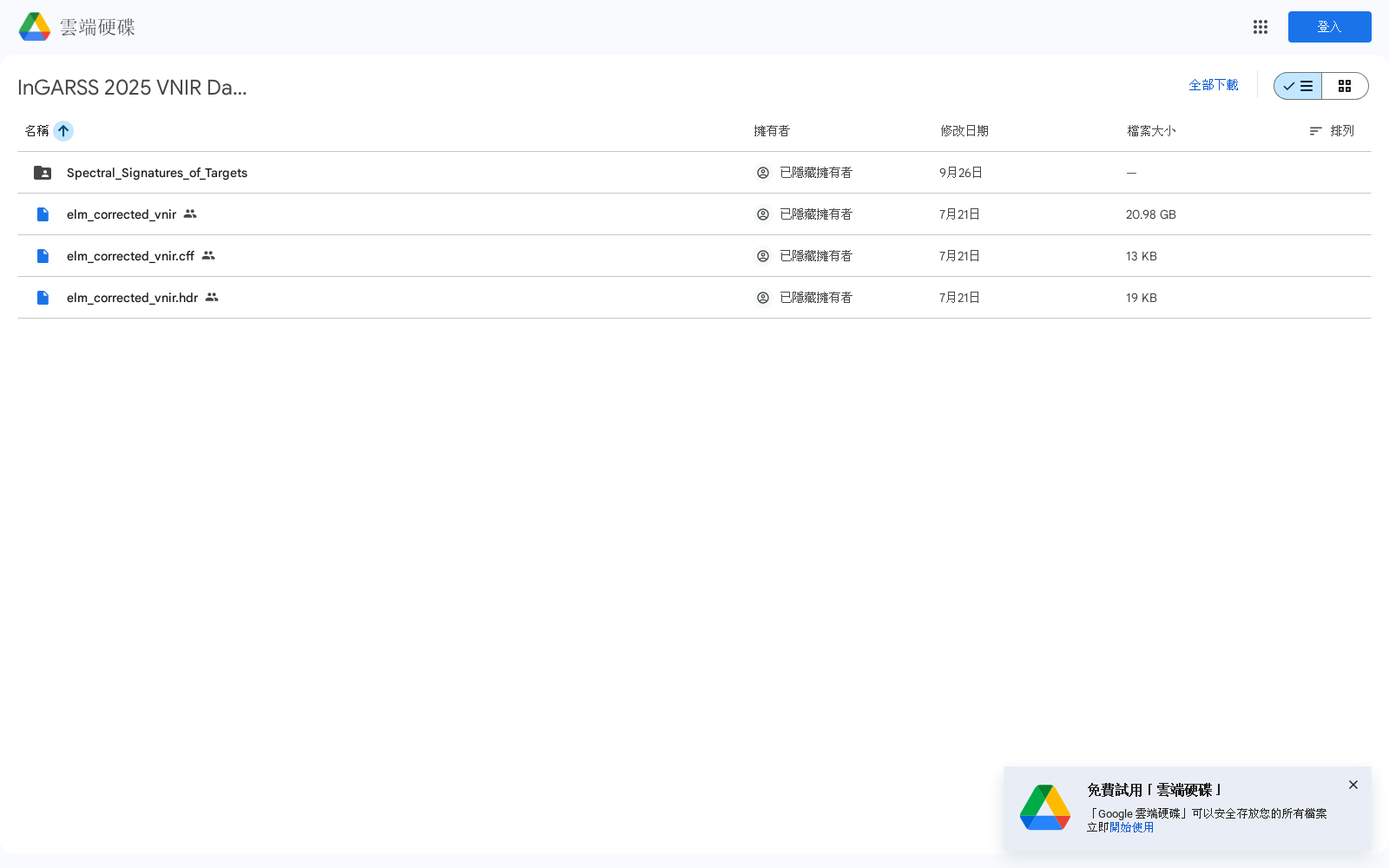
该数据集由非盈利组织排雷研究社区与罗切斯特理工学院合作,在受控测试场收集,包括143个真实模拟地雷和未爆炸弹药目标。使用Headwall Nano-Hyperspec®传感器捕获270个连续光谱波段,覆盖398-1002nm波长范围。数据经过辐射定标、正射校正和镶嵌处理,并使用经验线法获取反射率。该数据集旨在促进可重复性研究,并提供无人机遥感技术在人道主义排雷领域的应用实例。
This dataset was collected at a controlled test site in collaboration between the non-profit Mine Action Research Community and Rochester Institute of Technology, and includes 143 real-world simulated landmine and unexploded ordnance (UXO) targets. Data was captured using a Headwall Nano-Hyperspec® sensor with 270 contiguous spectral bands spanning the 398–1002 nm wavelength range. The data underwent radiometric calibration, orthorectification, and mosaicking, and reflectance was retrieved using the empirical line method. This dataset aims to facilitate reproducible research and provide a practical example of the application of unmanned aerial vehicle (UAV) remote sensing technology in the humanitarian demining field.
- 1A UAV-Based VNIR Hyperspectral Benchmark Dataset for Landmine and UXO DetectionRochester Institute of Technology, Chester F. Carlson Center for Imaging Science · 2025年


