
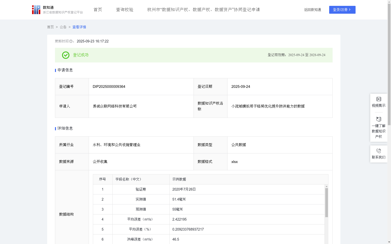
小流域模拟用于格局优化提升防洪能力的数据
收藏浙江省数据知识产权登记平台2025-09-23 更新2025-09-24 收录
下载链接:
https://www.zjip.org.cn/home/announce/trends/184851
下载链接
链接失效反馈官方服务:
资源简介:
本数据集的核心价值在于通过严谨的多源数据整合、标准化处理和先进的分布式水文模型模拟,结合数据挖掘技术,生成了高空间分辨率、定量化、具有物理机制支撑的小流域洪水淹没、风险及格局优化信息。
保险精算: 提供基于物理模拟和历史/情景分析的网格化洪水风险概率图和预期淹没深度/损失评估数据,用于精确厘定保险费率、设计洪水保险产品。
灾害预警: 提供不同降雨情景下的洪水演进过程模拟结果(淹没范围、水深、流速动态变化),作为精细化洪水预警模型的核心输入或校验基准,提升预警的时效性和准确性。提供关键控制点的流量/水位预报数据。
农业生产规划: 提供洪水风险区划图和历史/设计情景淹没频率图,指导规避高风险区进行永久性农业设施建设;结合优化建议图,指导在适宜区域(如滞洪区)发展耐淹作物或调整种植结构。提供灾后淹没评估数据用于定损。
国土空间规划与防洪工程设计: 提供洪水风险地图和格局优化建议图,作为划定洪泛区、蓝绿线、布局防洪工程(堤防、水库、蓄滞洪区)、优化土地利用布局(如增加绿地、湿地)的科学依据。提供模拟数据用于工程方案的防洪效益评估。1. 数据采集与预处理
(1)数据源要求:采集遥感影像、历史淹没范围、水文站点数据(流量/水位)、土壤类型图、土地利用/覆盖图。
(2)筛选标准:遥感影像:云量覆盖率≤阈值,覆盖目标时间范围,空间分辨率≤30m(如DEM)。
(3)数据清洗
缺失值处理:分类数据采用众数填充或邻近像元/区域逻辑插补。
异常值处理:基于统计学方法(如3σ原则)识别并修正。
(4)格式统一化:所有数据转换为统一GIS格式,强制统一地理投影系统。
2. 数据整合与标准化
(1)空间配准:栅格数据精确配准至统一地理坐标系(配准精度≤0.5像元)。
(2)重采样处理:不同分辨率栅格数据通过双线性/三次卷积法重采样至目标网格(如30m×30m)。
(3)属性标准化:统一字段命名及物理量单位:流量→m³/s,降雨量→mm。
(4)时间序列数据:插值或聚合至统一时间频率。
(5)空间框架构建:以流域边界矢量文件为基准,所有数据统一至目标分辨率。
3. 水文建模与分析
(1)参数提取:基于水文分析工具生成地形参数(水流方向矩阵、汇流累积量等)。
(2)模型输入构建:整合气象(降雨/气温/蒸发)、土壤(类型/水力参数)、地形数据,按分布式水文模型要求格式化。
(3)模型率定与验证:率定期:用历史实测水文数据,通过优化算法调整敏感参数,达成模拟-实测流量拟合目标(如NSE≥0.7)。验证期:使用独立时段数据验证模型泛化能力。
(4)模拟输出:生成关键水文要素空间分布结果。
The core value of this dataset lies in generating high-spatial-resolution, quantitative, physically-based small watershed flood inundation, risk and pattern optimization information through rigorous multi-source data integration, standardization processing, advanced distributed hydrological model simulation and data mining techniques.
Actuarial Insurance: Provide gridded flood risk probability maps and expected inundation depth/loss assessment data based on physical simulation and historical/scenario analysis, which are used to accurately determine insurance premium rates and design flood insurance products.
Disaster Early Warning: Provide flood routing simulation results (dynamic changes of inundation extent, water depth and flow velocity) under different rainfall scenarios, which serve as the core input or verification benchmark for refined flood early warning models to improve the timeliness and accuracy of early warning. Provide flow/water level forecast data for key control points.
Agricultural Production Planning: Provide flood risk zoning maps and historical/design scenario inundation frequency maps to guide the construction of permanent agricultural facilities in high-risk avoidance areas; combine with optimization suggestion maps to guide the development of submergence-tolerant crops or adjustment of planting structures in suitable areas (such as flood detention basins). Provide post-disaster inundation assessment data for damage settlement.
Land Spatial Planning and Flood Control Engineering Design: Provide flood risk maps and pattern optimization suggestion maps as scientific basis for delineating floodplains, blue-green control lines, laying out flood control projects (embankments, reservoirs, flood detention basins) and optimizing land use layout (such as increasing green spaces and wetlands). Provide simulation data for flood control benefit assessment of engineering schemes.
1. Data Collection and Preprocessing
(1) Data Source Requirements: Collect remote sensing imagery, historical inundation extents, hydrological station data (discharge/water level), soil type maps and land use/cover maps.
(2) Screening Criteria: For remote sensing imagery: cloud cover rate ≤ threshold, covering the target time range, spatial resolution ≤ 30m (e.g., DEM).
(3) Data Cleaning
Missing Value Handling: For categorical data, adopt mode imputation or logical imputation via adjacent pixels/regions.
Outlier Handling: Identify and correct outliers using statistical methods (e.g., 3σ criterion).
(4) Format Unification: Convert all data to a unified GIS format, and enforce a unified geographic projection system.
2. Data Integration and Standardization
(1) Spatial Registration: Precisely register raster data to a unified geographic coordinate system (registration accuracy ≤ 0.5 pixels).
(2) Resampling Processing: Resample raster data of different resolutions to the target grid (e.g., 30m×30m) via bilinear/cubic convolution methods.
(3) Attribute Standardization: Unify field names and physical units: discharge → m³/s, rainfall → mm.
(4) Time Series Data: Interpolate or aggregate to a unified time frequency.
(5) Spatial Framework Construction: Take the watershed boundary vector file as the benchmark, and unify all data to the target resolution.
3. Hydrological Modeling and Analysis
(1) Parameter Extraction: Generate topographic parameters (flow direction matrix, flow accumulation, etc.) based on hydrological analysis tools.
(2) Model Input Construction: Integrate meteorological data (rainfall/temperature/evaporation), soil data (type/hydraulic parameters) and topographic data, and format them according to the requirements of distributed hydrological models.
(3) Model Calibration and Validation: Calibration period: Use historical in-situ hydrological data, adjust sensitive parameters through optimization algorithms to achieve the simulation-observed flow fitting target (e.g., NSE ≥ 0.7). Validation period: Use independent time-period data to verify the model's generalization ability.
(4) Simulation Outputs: Generate spatial distribution results of key hydrological elements.
提供机构:
易诚众联网络科技有限公司创建时间:
2025-06-25
搜集汇总
数据集介绍
背景与挑战
背景概述
该数据集是一个用于小流域洪水模拟和格局优化的公共数据资源,包含728条记录,每年更新,以xlsx格式存储。它通过整合多源数据和分布式水文模型,生成高分辨率洪水风险信息,应用于保险精算、灾害预警和国土规划等领域,旨在提升防洪能力。
以上内容由遇见数据集搜集并总结生成
暂无相关数据集


