AgEagleVPRDataset
收藏资源简介:
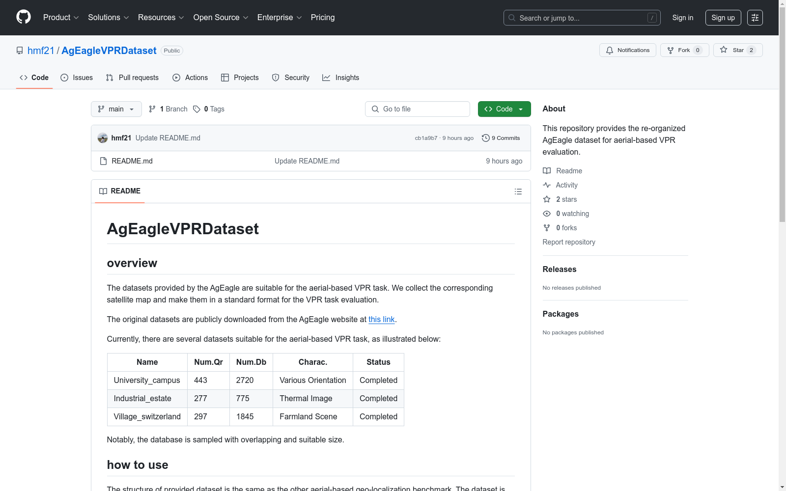
AgEagle提供的数据集适用于基于空中的视觉位置识别(VPR)任务。我们收集了相应的卫星地图,并将它们以标准格式用于VPR任务评估。
The dataset provided by AgEagle is designed for the aerial visual position recognition (VPR) task. We have collected the corresponding satellite maps and utilized them in standard format for evaluating the VPR task.
AgEagleVPRDataset 数据集概述
数据集简介
- 数据集适用于基于航空的视觉位置识别(VPR)任务。
- 数据集包含对应的卫星地图,并以标准格式进行组织以便于VPR任务评估。
- 原始数据公开下载自AgEagle网站:https://ageagle.com/resources/?filter_by=data-set。
数据集内容
| 名称 | 查询数量 (Num.Qr) | 数据库数量 (Num.Db) | 特征 (Charac.) | 状态 (Status) |
|---|---|---|---|---|
| University_campus | 443 | 2720 | 多种方向 | 已完成 |
| Industrial_estate | 277 | 775 | 热成像图像 | 已完成 |
| Village_switzerland | 297 | 1845 | 农田场景 | 已完成 |
数据集结构
.
└── AgEagleVPR
└── SubScene-One
├── map_database
│ ├── @SubScene-One@longitude@latitude@patch_size.tif
│ ├── .......
│ └── @SubScene-One@longitude@latitude@patch_size.tif
│
└── query_images
├── @query_index@longitude@latitude@.png
├── .......
└── @query_index@longitude@latitude@.png
检索设置
- 检索正半径设置为200米。
- 距离可通过图像的坐标计算。
基准性能
在100米正半径设置下,使用SALAD(重新训练)方法的检索召回率如下:
| 名称 | 方法 | R@1 | R@5 | R@10 |
|---|---|---|---|---|
| University_campus | SALAD(retrained) | 29.57 | 55.76 | 65.46 |
| Industrial_estate | SALAD(retrained) | 74.01 | 90.25 | 93.14 |
| Village_switzerland | SALAD(retrained) | 75.42 | 94.95 | 97.98 |
引用
如果该数据集对您的研究有帮助,请考虑引用以下论文:
@article{he2024leveraging, title={Leveraging map retrieval and alignment for robust UAV visual geo-localization}, author={He, Mengfan and Liu, Jiacheng and Gu, Pengfei and Meng, Ziyang}, journal={IEEE Transactions on Instrumentation and Measurement}, volume={73}, pages={1--13}, year={2024}, publisher={IEEE} }