
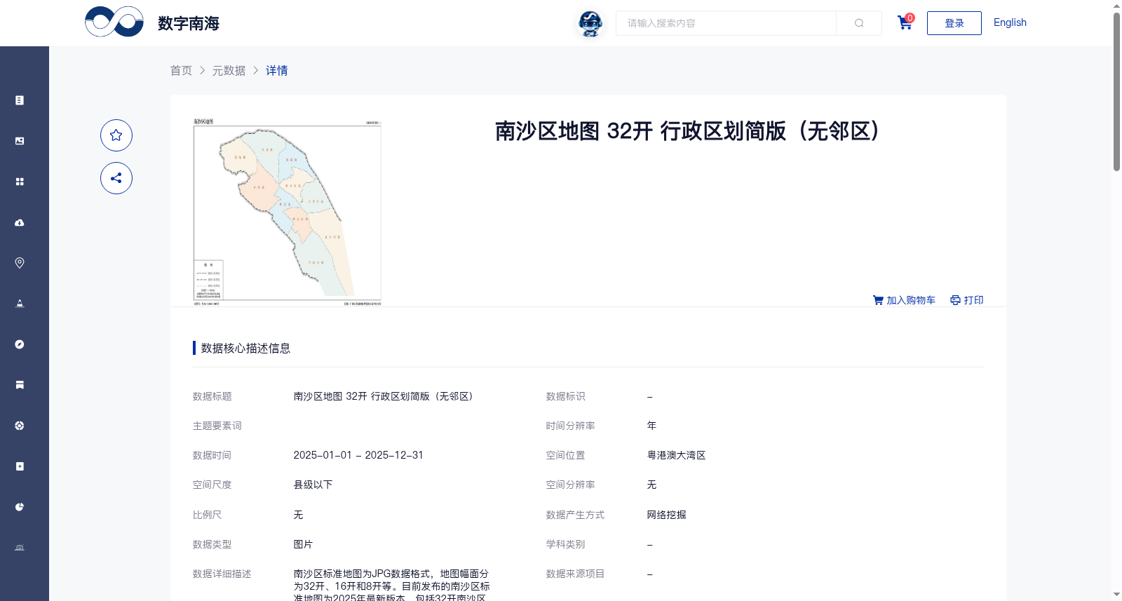
南沙区地图 32开 行政区划简版(无邻区)
收藏南海海洋数据中心2025-12-27 收录
下载链接:
https://data.scsio.ac.cn/metaData-detail/2004425597370396672
下载链接
链接失效反馈官方服务:
资源简介:
南沙区标准地图为JPG数据格式,地图幅面分为32开、16开和8开等。目前发布的南沙区标准地图为2025年最新版本,包括32开南沙区行政区划图2幅,16开南沙区地图7幅(基础要素版、行政区划版和专题要素版),8开南沙区地图2幅(基础要素版),以及16开镇街图10幅。其中专题要素版包含地势图、水系图和交通图三种。
The standard maps of Nansha District are in JPG data format, with available sizes including 32-open, 16-open and 8-open paper sizes. The currently released standard maps of Nansha District are the 2025 latest edition, which include two 32-open Nansha District administrative division maps, seven 16-open Nansha District maps (basic feature version, administrative division version and thematic feature version), two 8-open Nansha District maps (basic feature version), and ten 16-open town and subdistrict maps. Among them, the thematic feature version covers three subtypes: topographic map, hydrological map and traffic map.
提供机构:
广州市规划和自然资源局南沙区分局搜集汇总
数据集介绍
背景与挑战
背景概述
该数据集是2025年南沙区行政区划简版地图,以JPG格式提供,幅面为32开,适用于新闻宣传、书刊插图等公开用途,但使用时需标注审图号或送审。数据来源于官方网络资源挖掘,由广州市规划和自然资源局南沙区分局贡献,并通过中国科学院南海海洋研究所平台完全开放共享。
以上内容由遇见数据集搜集并总结生成


