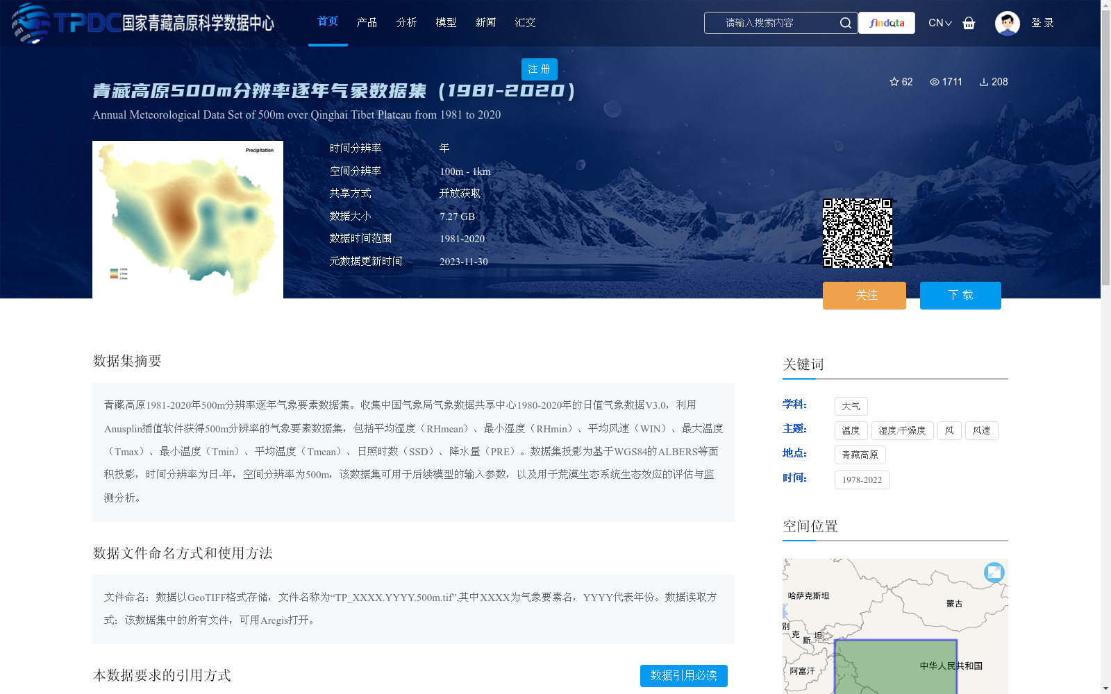
青藏高原500m分辨率逐年气象数据集(1981-2020)
收藏资源简介:
青藏高原1981-2020年500m分辨率逐年气象要素数据集。收集中国气象局气象数据共享中心1980-2020年的日值气象数据V3.0,利用Anusplin插值软件获得500m分辨率的气象要素数据集,包括平均湿度(RHmean)、最小湿度(RHmin)、平均风速(WIN)、最大温度(Tmax)、最小温度(Tmin)、平均温度(Tmean)、日照时数(SSD)、降水量(PRE)。数据集投影为基于WGS84的ALBERS等面积投影,时间分辨率为日-年,空间分辨率为500m,该数据集可用于后续模型的输入参数,以及用于荒漠生态系统生态效应的评估与监测分析。
A 500 m-resolution annual meteorological element dataset over the Qinghai-Tibet Plateau from 1981 to 2020. This dataset is developed based on the daily meteorological data V3.0 from 1980 to 2020 collected from the China Meteorological Administration (CMA) Meteorological Data Sharing Center, and interpolated to 500 m resolution using the Anusplin interpolation software. The included meteorological elements are mean relative humidity (RHmean), minimum relative humidity (RHmin), mean wind speed (WIN), maximum temperature (Tmax), minimum temperature (Tmin), mean temperature (Tmean), sunshine duration (SSD), and precipitation (PRE). The dataset adopts the Albers Equal Area projection based on WGS84, with a temporal resolution ranging from daily to annual and a spatial resolution of 500 m. This dataset can serve as input parameters for subsequent models, as well as for the evaluation and monitoring analysis of ecological effects in desert ecosystems.