
UrbanLoco
收藏资源简介:
UrbanLoco数据集是由香港理工大学和加州大学伯克利分校合作创建,专注于高度城市化地区的映射和定位问题。该数据集包含13条轨迹,总长度超过40公里,覆盖了包括城市峡谷、桥梁、隧道等多种城市地形。数据集通过配备的全传感器套件(包括LIDAR、相机、IMU和GNSS接收器)收集,旨在解决城市环境中由于高楼和动态物体导致的映射和定位难题。UrbanLoco数据集的创建过程涉及在繁忙的城市区域进行详细的数据采集,其应用领域主要集中在自动驾驶车辆的映射和定位技术上。
UrbanLoco Dataset was collaboratively created by The Hong Kong Polytechnic University and the University of California, Berkeley, focusing on mapping and localization tasks in highly urbanized regions. This dataset consists of 13 trajectories with a total length exceeding 40 kilometers, covering diverse urban terrains such as urban canyons, bridges, and tunnels. Collected using a comprehensive onboard sensor suite including LIDAR, cameras, IMU, and GNSS receivers, it aims to address the challenges of mapping and localization in urban environments caused by high-rise buildings and dynamic objects. The development of the UrbanLoco dataset involved detailed data collection in busy urban areas, and its primary application scenarios are centered on mapping and localization technologies for autonomous vehicles.
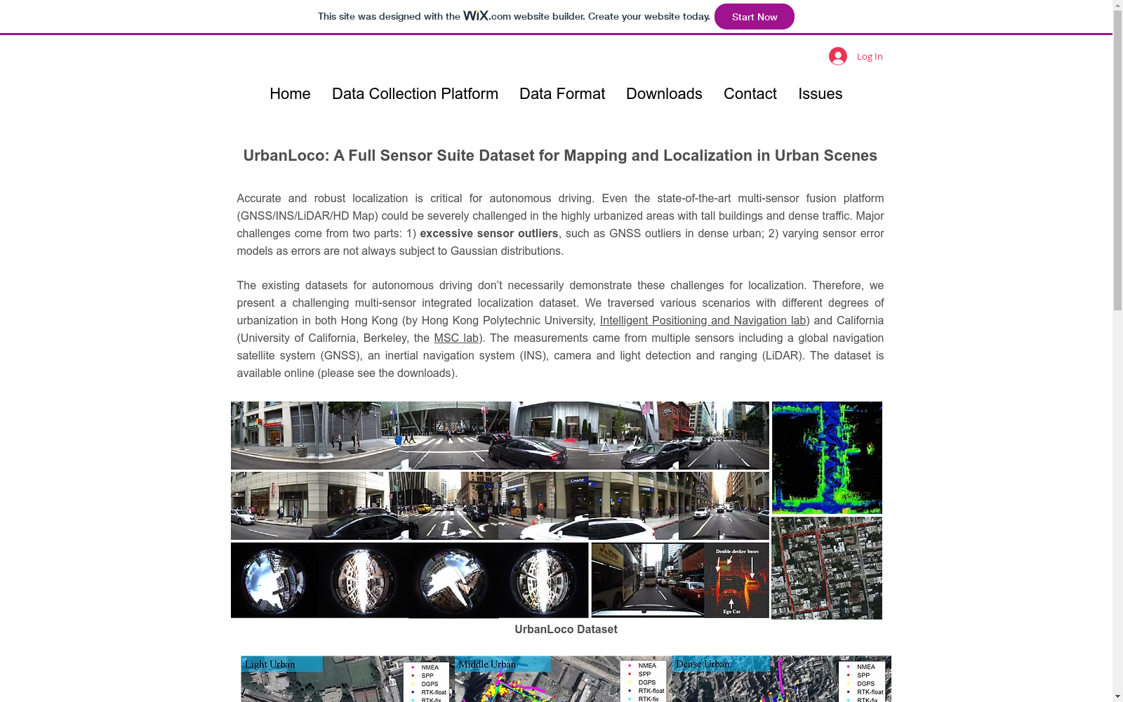
- 1UrbanLoco: A Full Sensor Suite Dataset for Mapping and Localization in Urban Scenes智能定位与导航实验室,香港理工大学 机械系统控制实验室,加州大学伯克利分校 · 2020年


