青海省河湟谷地2000年耕地重建数据
收藏资源简介:
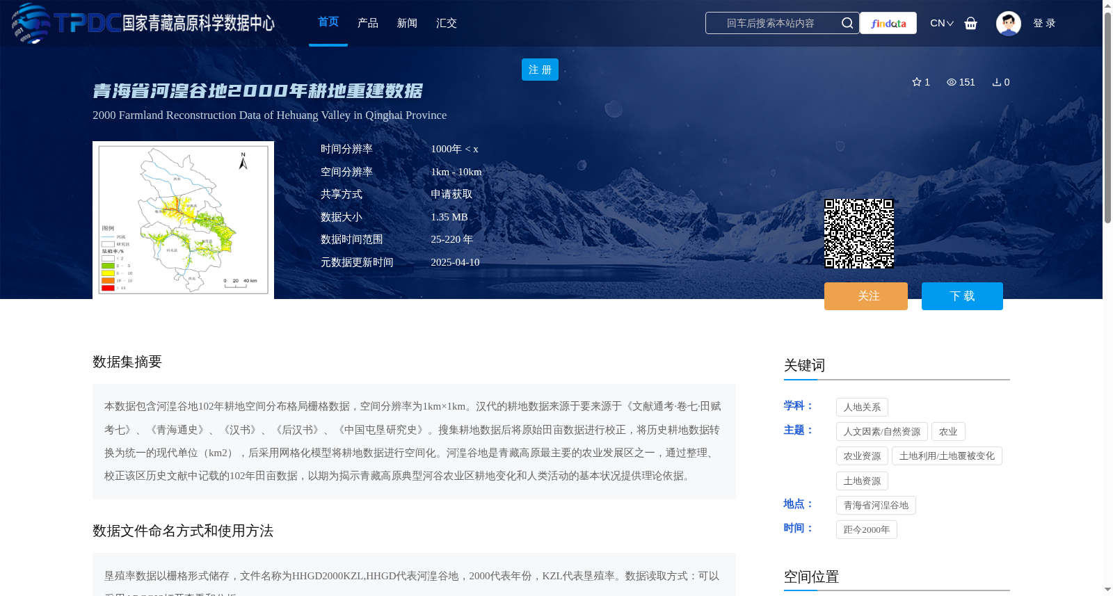
本数据包含河湟谷地102年耕地空间分布格局栅格数据,空间分辨率为1km×1km。汉代的耕地数据来源于要来源于《文献通考·卷七·田赋考七》、《青海通史》、《汉书》、《后汉书》、《中国屯垦研究史》。搜集耕地数据后将原始田亩数据进行校正,将历史耕地数据转换为统一的现代单位(km2),后采用网格化模型将耕地数据进行空间化。河湟谷地是青藏高原最主要的农业发展区之一,通过整理、校正该区历史文献中记载的102年田亩数据,以期为揭示青藏高原典型河谷农业区耕地变化和人类活动的基本状况提供理论依据。
This dataset contains raster data on the spatial distribution pattern of cultivated land in the Hehuang Valley over 102 years, with a spatial resolution of 1 km × 1 km. The cultivated land data for the Han Dynasty is sourced from *Wenxian Tongkao (Volume 7, Land Taxation Chapter)*, *General History of Qinghai*, *Book of Han*, *Book of the Later Han*, and *History of Research on Chinese Military Reclamation*. After collecting the original data, the traditional mu-based area measurements were calibrated, and the historical cultivated land data was converted into a unified modern unit (km²). Subsequently, the cultivated land data was spatialized using a gridding model. The Hehuang Valley is one of the most important agricultural development regions on the Qinghai-Tibet Plateau. By organizing and calibrating the 102-year mu-based area data recorded in local historical documents, this dataset aims to provide a theoretical basis for revealing the fundamental conditions of cultivated land changes and human activities in typical valley agricultural areas on the Qinghai-Tibet Plateau.