新疆-西亚廊带地质矿产数据集(2022.1-2024.1)
收藏资源简介:
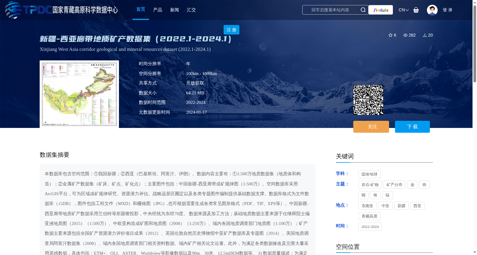
本数据库包含空间范围:①我国新疆;②西亚(巴基斯坦、阿富汗、伊朗)。数据内容主要有:①1:500万地质数据集(地质体和构造);②金属矿产数据集(矿床、矿点、矿化点);主要图件包括:中国新疆-西亚廊带成矿规律图(1:500万)。空间数据库采用ArcGIS平台,可为区域成矿规律研究、资源潜力评估、战略远景区圈定以及各类专题图件编制提供基础数据支撑。数据库格式为文件数据库(.GDB),图件包括工程文件(MXD)和栅格图(JPG),也可根据需要生成各类常见图形格式(PDF、TIF、EPS等)。中国新疆-西亚廊带地质矿产数据采用兰伯特等形圆锥投影,中央经线为东经78度。 数据来源及加工方法;基础地质数据主要来源于任继舜院士编亚洲地质图(2015)(1:500万)、中欧亚构造成矿图和地质图(2008)(1:250万)、域内各国地质调查部门地质图(1:100万);矿产数据主要来源包括全国矿产资源潜力评价项目成果(2012)、英国伦敦自然历史博物馆中亚矿产数据库及专题图(2014)、美国地质调查局阿富汗数据集(2008)、域内各国地质调查部门相关资料数据、域内矿产相关论文论著。此外,为满足各类数据修改及完善大量采用遥感数据,具体包括:ETM+、OLI、ASTER、Worldview等影像数据以及90m、30米、12.5mDEM数据等。 3) 数据质量描述;为满足泛第三极区域成矿规律研究、地质矿产图和成矿预测图编制需要,在数据空间准确性、逻辑一致性和数据完整性方面进行编辑、处理以及补充完善。具体包括:①矢量化,基于前述资料进行了大量矢量化工作,用于补充数字资料缺失区域(伊朗、巴基斯坦),同时根据资料更新程度合并、分割各类面要素和线要素,矢量化工作按照我国相关规范要求比例尺精度要求下完成;②拓扑处理,消除重叠面、空区等拓扑错误;③完善要素属性结构和补充要素属性内容,围绕区域成矿规律研究、地质矿产图和成矿预测图编制目标,依据我国相关规范,结合具体资料和数据内容,建立了相应数据模型,完善了地质体、构造、矿产要素类属性结构并完成了相应属性的填写工作;④基于以上数据处理内容,结合泛第三极研究成果和最新认识,对区内相关地质内容进行了进一步修改和完善。 4) 数据应用成果及前景:新疆-西亚廊带地质矿产数据集主要服务于泛第三极新疆-西亚廊带地区、重要成矿带以及国别区域成矿规律研究、地质矿产图和成矿预测图编制,比例尺为1:500万(中国新疆-西亚廊带)。
Spatial scope: ① Xinjiang, China; ② West Asia (Pakistan, Afghanistan, Iran). The main data contents include: ① 1:5,000,000 scale geological dataset (geological bodies and structures); ② Metallic mineral resources dataset (ore deposits, mineral occurrences, mineralization points). The main maps include the Metallogenic Regularity Map of the Xinjiang-West Asia Corridor (1:5,000,000 scale). The spatial database is developed on the ArcGIS platform, providing basic data support for regional metallogenic regularity research, resource potential assessment, strategic prospective area delineation, and compilation of various thematic maps. The database is stored in File Geodatabase (.GDB) format. The map files include ArcGIS project files (MXD) and raster images (JPG), and various common graphic formats such as PDF, TIF, EPS can be generated as needed. The geological and mineral data of the Xinjiang-West Asia Corridor adopt the Lambert Conformal Conic projection, with the central meridian set at 78° east longitude. Data sources and processing methods: Basic geological data mainly originate from the 1:5,000,000 scale Asian Geological Map compiled by Academician Ren Jishun (2015), the Central Eurasian Metallogenic and Geological Map (2008, 1:2,500,000 scale), and 1:1,000,000 scale geological maps from national geological survey departments within the region. Mineral resources data mainly come from the results of the National Mineral Resource Potential Evaluation Project (2012), the Central Asian Mineral Database and thematic maps of the Natural History Museum, London, UK (2014), the Afghanistan dataset of the U.S. Geological Survey (2008), relevant data from national geological survey departments within the region, and academic papers and monographs related to regional minerals. In addition, a large amount of remote sensing data has been utilized for data modification and improvement, including image data such as ETM+, OLI, ASTER, Worldview, as well as DEM data with resolutions of 90m, 30m, and 12.5m. 3) Data quality description: To meet the requirements of metallogenic regularity research, geological and mineral map compilation, and metallogenic prediction map compilation in the Pan-third Pole region, edits, processing, and supplementary improvements have been conducted on the data in terms of spatial accuracy, logical consistency, and data integrity. The specific work includes: ① Vectorization: A large number of vectorization tasks have been carried out based on the aforementioned data to supplement the digital data-deficient areas (Iran, Pakistan). Meanwhile, surface and line features are merged or split according to the update status of the data. The vectorization work is completed in accordance with the scale accuracy requirements specified in relevant Chinese standards. ② Topology processing: Eliminate topological errors such as overlapping surfaces and void areas. ③ Improvement of feature attribute structure and supplement of attribute content: Centered on the goals of regional metallogenic regularity research, geological and mineral map compilation, and metallogenic prediction map compilation, corresponding data models are established based on relevant Chinese specifications, combined with specific data and materials. The attribute structures of geological body, structure, and mineral feature classes are optimized, and the corresponding attribute information is fully filled in. ④ Based on the above data processing results, combined with the research achievements and latest understandings of the Pan-third Pole region, relevant geological contents within the region have been further revised and improved. 4) Data application achievements and prospects: The geological and mineral dataset of the Xinjiang-West Asia Corridor primarily serves the research on metallogenic regularity, compilation of geological and mineral maps and metallogenic prediction maps in the Pan-third Pole region's Xinjiang-West Asia Corridor, major metallogenic belts, and national-level regions, with a map scale of 1:5,000,000 (Xinjiang-West Asia Corridor, China).