
海洋表层漂流浮标海洋环境监测数据
收藏数据链接:
官方服务:
资源简介:
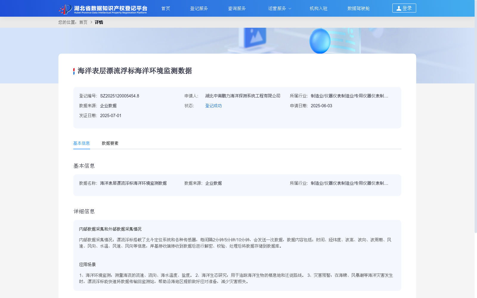
内部数据采集情况:漂流浮标搭载了北斗定位系统和各种传感器,每间隔2分钟/5分钟/10分钟,会发送一次数据,数据内容包括:时间、经纬度、波高、波向、波周期、风速、风向、水温、风速、风向等信息,岸基接收端接收到数据后进行解密、校验、处理后将数据存储到数据库。
Internal Data Collection: The drifting buoys are equipped with the BeiDou Navigation Satellite System (BDS) and various sensors, and transmit data at intervals of 2, 5, or 10 minutes. The transmitted data includes time, longitude and latitude, wave height, wave direction, wave period, wind speed, wind direction, water temperature, wind speed, and wind direction. Upon receiving the data, the shore-based receiving terminal performs decryption, verification and processing, then stores the data into the database.
提供机构:
湖北中南鹏力海洋探测系统工程有限公司创建时间:
2025-06-03
搜集汇总
数据集介绍
背景与挑战
背景概述
该数据集包含海洋表层漂流浮标采集的多种环境监测数据,更新频次高,适用于海洋环境监测、生态研究和灾害预警等多个应用场景。
以上内容由遇见数据集搜集并总结生成


