青藏工程走廊多年冻土区气温降雨观测数据(1956-2012)
收藏资源简介:
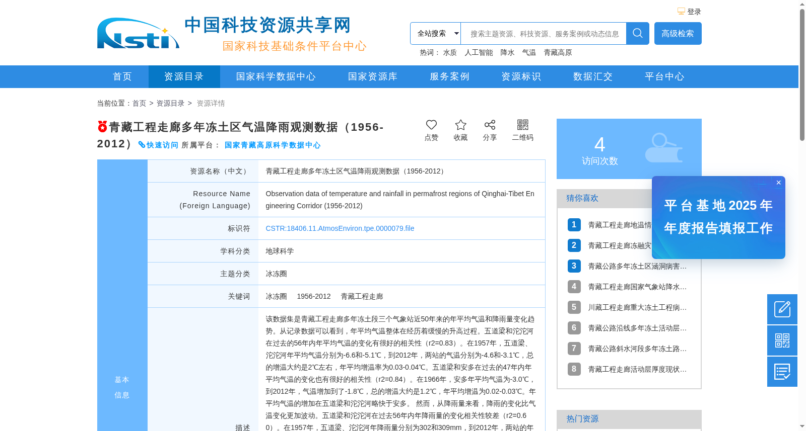
该数据集是青藏工程走廊多年冻土段三个气象站近50年来的年平均气温和降雨量变化趋势。从记录数据可以看到,年平均气温整体在经历着缓慢的升高过程。五道梁和沱沱河在过去的56年内年平均气温的变化有很好的相关性(r2=0.83)。在1957年,五道梁、沱沱河年平均气温分别为-6.6和-5.1℃,到2012年,两站的气温分别为-4.6和-3.1℃,总的增温大约是2℃左右,年平均增温率为0.03-0.04℃。五道梁和安多在过去的47年内年平均气温的变化也有很好的相关性(r2=0.84)。在1966年,安多年平均气温为-3.0℃,到2012年,气温增加到了-1.8℃,总的增温大约是1.2℃,年平均增温为0.02-0.03℃。年平均气温的增加在五道梁和沱沱河略快于安多。 然而,从降雨量来看,降雨的变化比气温变化更加波动。五道梁和沱沱河在过去56年内年降雨量的变化相关性较差(r2=0.60)。在1957年,五道梁、沱沱河年降雨量分别为302和309mm,到2012年,两站的年降雨量分别为426和332mm,五道梁有124mm的降雨增加,年降雨量增加率约为2mm,沱沱河年降雨量增加率仅为0.4mm。五道梁和安多在过去的47年内年降雨量的变化相关性也较差(r2=0.35)。在1966和2012年,安多年平降雨量分别为354和404mm,总的增加大约是50mm,年平均增加率为1mm。年降雨量的增加在五道梁是最快的。 三个气象站代表了青藏工程走廊多年冻土段的气候变化情况。从整体的气温和降雨量的变化趋势来看,过去50年,走廊北部和中部的气温增速较快,超过全球平均0.02℃/a的水平(IPCC)。北部的降雨量增加也较明显,尤其是五道梁气象站的降雨增速非常明显。气温变暖和降雨增加都对加速多年冻土的空间变化产生较大影响,是导致青藏高原多年冻土退化的主导因素。
This dataset documents the long-term trends of annual mean air temperature and annual precipitation at three meteorological stations located in the permafrost zone of the Qinghai-Tibet Engineering Corridor over the past 50 years. Analysis of the recorded data reveals that the annual mean air temperature has been experiencing a gradual warming trend overall. Wudaoliang and Tuotuohe showed a strong correlation in annual mean air temperature changes over the past 56 years (r²=0.83). In 1957, the annual mean air temperatures at Wudaoliang and Tuotuohe were -6.6°C and -5.1°C, respectively; by 2012, these values had risen to -4.6°C and -3.1°C, respectively, with a total warming of approximately 2°C and an annual warming rate of 0.03–0.04°C. Wudaoliang and Amdo also exhibited a strong correlation in annual mean air temperature changes over the past 47 years (r²=0.84). In 1966, the annual mean air temperature at Amdo was -3.0°C, which increased to -1.8°C by 2012, representing a total warming of approximately 1.2°C and an annual warming rate of 0.02–0.03°C. The warming rates at Wudaoliang and Tuotuohe were slightly faster than that at Amdo. However, changes in annual precipitation were more volatile than those in air temperature. Wudaoliang and Tuotuohe had a weak correlation in annual precipitation changes over the past 56 years (r²=0.60). In 1957, the annual precipitation at Wudaoliang and Tuotuohe was 302 mm and 309 mm, respectively; by 2012, these values had reached 426 mm and 332 mm, respectively. Wudaoliang saw an increase of 124 mm in annual precipitation, with an annual growth rate of approximately 2 mm, while Tuotuohe’s annual precipitation growth rate was only 0.4 mm. Wudaoliang and Amdo also had a weak correlation in annual precipitation changes over the past 47 years (r²=0.35). In 1966 and 2012, the annual precipitation at Amdo was 354 mm and 404 mm, respectively, with a total increase of approximately 50 mm and an annual growth rate of 1 mm. The fastest increase in annual precipitation was observed at Wudaoliang. The three meteorological stations collectively represent the climate change patterns in the permafrost zone of the Qinghai-Tibet Engineering Corridor. Overall, from the trends of air temperature and precipitation changes over the past 50 years, the warming rates in the northern and central parts of the corridor were relatively fast, exceeding the global average level of 0.02°C/a (IPCC). Precipitation in the northern region also increased significantly, especially at the Wudaoliang meteorological station, where precipitation growth was particularly prominent. Both air temperature warming and precipitation increase have substantial impacts on accelerating spatial changes in permafrost, and are the dominant factors leading to permafrost degradation on the Qinghai-Tibet Plateau.