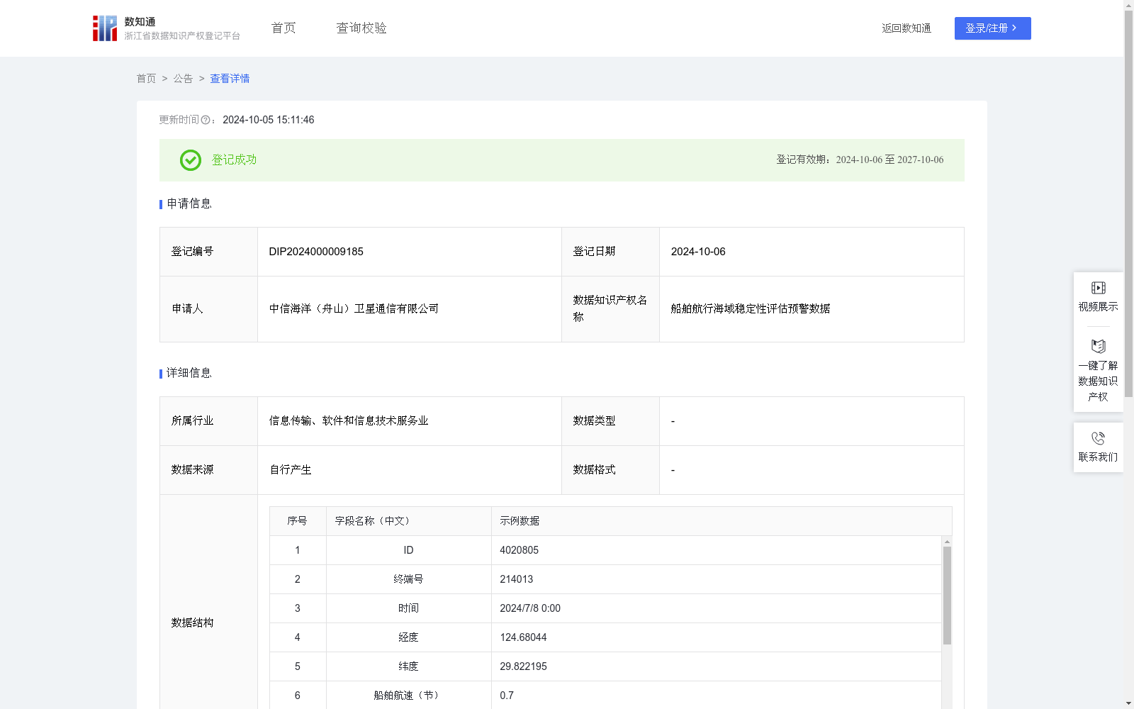
船舶航行海域稳定性评估预警数据
收藏资源简介:
通过安装在各种船舶上的卫星天线终端收集各类反馈信息进行统计分析,ID、终端号、时间、经度、纬度、船舶航速、摇摆角速度、当前船舶稳定系数、船舶稳定度评估结果、当前记录点稳定系数、当前海域1h稳定系数、当前海域3h稳定系数、海域稳定度评估结果等数据,得出船舶航行海域稳定性评估预警数据;通过对船舶的航速、摇摆角速度、船舶稳定度评估结果等参数的实时监控,可以及时发现船舶的不稳定状态,预防事故发生,确保航行安全;根据海域稳定度评估结果,对可能的恶劣天气、海况等进行预警,船舶可规划更安全的航线,避开高风险区域,减少航行风险,进一步开发风险预警系统帮助船舶提前做出规避措施。1.数据采集:通过对船舶卫星天线终端收集各类反馈信息进行采集整理汇总;收集,ID、终端号、时间、经度、纬度、船舶航速、摇摆角速度等数据。2.数据计算:当前船舶稳定系数=摇摆角速度/(船舶航速的0.5次方+1);当前记录点稳定系数=摇摆角速度*(船舶航速的0.5次方+1);根据当前记录经度纬度计算出记录点之间距离,筛选当前记录点半径10公里范围内的记录点稳定系数,取当前记录时间1h内相关数据,取平均值得当前海域1h稳定系数,同理取当前记录时间3h内相关数据,取平均值得当前海域3h稳定系数。3.数据分析:船舶稳定度评估结果根据当前船舶稳定系数大于8为“危险”,6.5至8为“预警”,小于6.5为“稳定”;海域稳定度评估结果根据(当前海域1h稳定系数+当前海域3h稳定系数)大于50为“危险”,40至50为“预警”,小于40为“稳定”。4.数据应用:及时发现船舶的不稳定状态,预防事故发生,确保航行安全;对可能的恶劣天气、海况等进行预警,船舶可规划更安全的航线,避开高风险区域,减少航行风险。
This dataset is developed by collecting and statistically analyzing various feedback data via satellite antenna terminals mounted on various ships. The collected and processed data cover ID, terminal number, time, longitude, latitude, ship speed, swing angular velocity, current ship stability coefficient, ship stability assessment result, stability coefficient of current recording point, 1-hour stability coefficient of current sea area, 3-hour stability coefficient of current sea area, sea area stability assessment result and other relevant metrics, to generate early warning data for the stability assessment of ship navigation waters. Real-time monitoring of parameters such as ship speed, swing angular velocity and ship stability assessment result enables timely detection of ship instability, accident prevention and guaranteed navigation safety. Based on the sea area stability assessment results, early warnings for potential severe weather and sea conditions can be issued, allowing ships to plan safer routes, avoid high-risk zones and mitigate navigation risks. Further development of such risk early warning systems can help ships take proactive avoidance measures in advance. 1. Data Collection: Collect, organize and aggregate various feedback information through ship-borne satellite antenna terminals. The collected data includes ID, terminal number, time, longitude, latitude, ship speed, swing angular velocity and other related contents. 2. Data Calculation: Current ship stability coefficient = swing angular velocity / (ship speed^0.5 + 1); Stability coefficient of current recording point = swing angular velocity * (ship speed^0.5 + 1); Calculate the distance between recording points based on their longitude and latitude, filter the stability coefficients of recording points within a 10-kilometer radius of the current recording point, take all valid data within 1 hour from the current recording time, and compute their average to obtain the 1-hour stability coefficient of the current sea area. Similarly, calculate the average of valid data within 3 hours from the current recording time to get the 3-hour stability coefficient of the current sea area. 3. Data Analysis: The ship stability assessment result is categorized as "Dangerous" if the current ship stability coefficient exceeds 8, "Warning" if it ranges from 6.5 to 8, and "Stable" if it is less than 6.5. The sea area stability assessment result is categorized as "Dangerous" if the sum of the 1-hour and 3-hour stability coefficients of the current sea area exceeds 50, "Warning" if it ranges from 40 to 50, and "Stable" if it is less than 40. 4. Data Application: Timely detect the unstable state of ships to prevent accidents and ensure navigation safety; issue early warnings for possible severe weather and sea conditions, allowing ships to plan safer routes, avoid high-risk areas and reduce navigation risks.