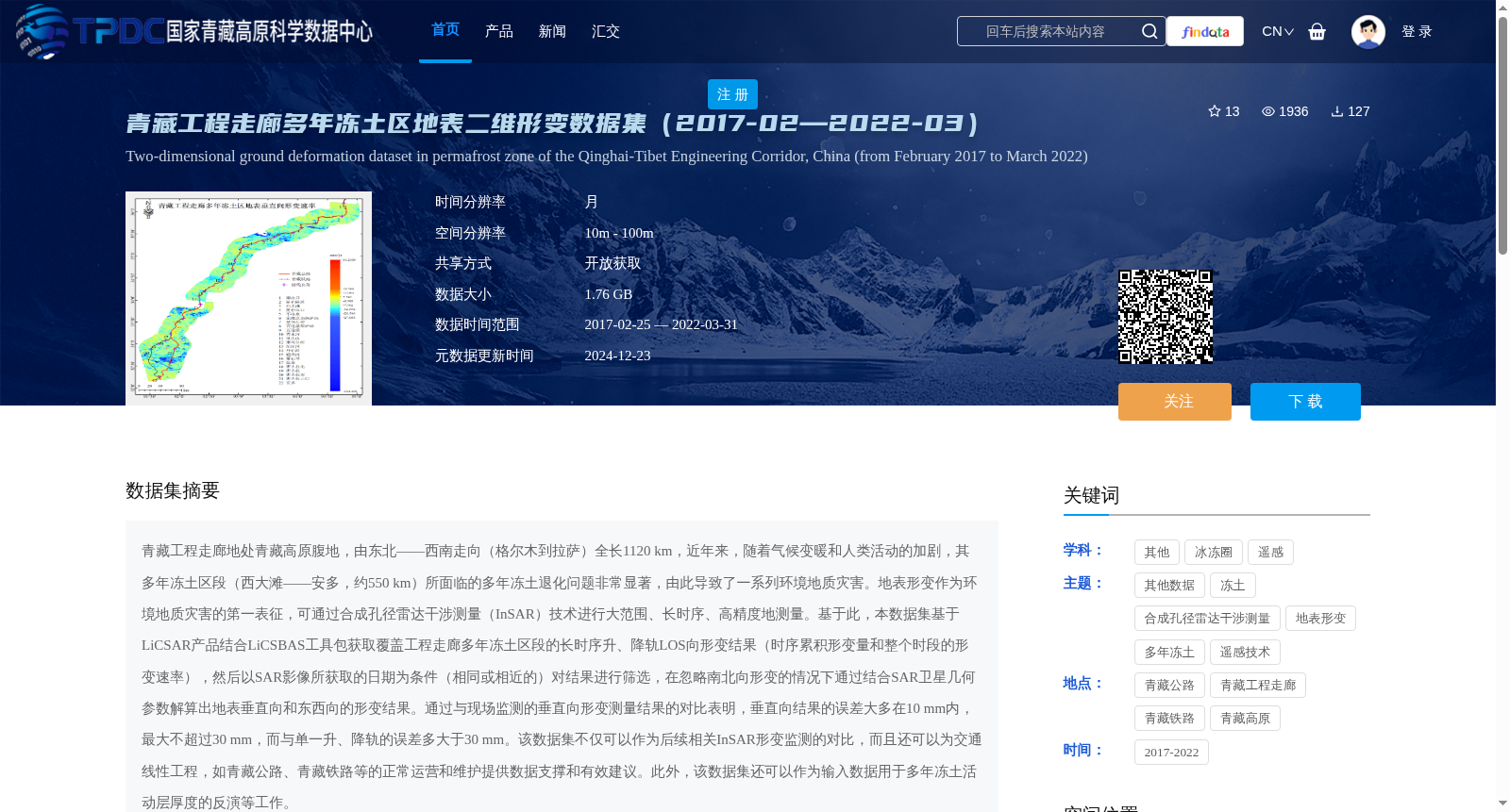
青藏工程走廊多年冻土区地表二维形变数据集(2017-02—2022-03)
收藏资源简介:
青藏工程走廊地处青藏高原腹地,由东北——西南走向(格尔木到拉萨)全长1120 km,近年来,随着气候变暖和人类活动的加剧,其多年冻土区段(西大滩——安多,约550 km)所面临的多年冻土退化问题非常显著,由此导致了一系列环境地质灾害。地表形变作为环境地质灾害的第一表征,可通过合成孔径雷达干涉测量(InSAR)技术进行大范围、长时序、高精度地测量。基于此,本数据集基于LiCSAR产品结合LiCSBAS工具包获取覆盖工程走廊多年冻土区段的长时序升、降轨LOS向形变结果(时序累积形变量和整个时段的形变速率),然后以SAR影像所获取的日期为条件(相同或相近的)对结果进行筛选,在忽略南北向形变的情况下通过结合SAR卫星几何参数解算出地表垂直向和东西向的形变结果。通过与现场监测的垂直向形变测量结果的对比表明,垂直向结果的误差大多在10 mm内,最大不超过30 mm,而与单一升、降轨的误差多大于30 mm。该数据集不仅可以作为后续相关InSAR形变监测的对比,而且还可以为交通线性工程,如青藏公路、青藏铁路等的正常运营和维护提供数据支撑和有效建议。此外,该数据集还可以作为输入数据用于多年冻土活动层厚度的反演等工作。
The Qinghai-Tibet Engineering Corridor, situated in the hinterland of the Qinghai-Tibet Plateau, runs from northeast to southwest, stretching 1120 km from Golmud to Lhasa. In recent years, with climate warming and intensifying human activities, the permafrost sections (Xidatan to Amdo, approximately 550 km) of the corridor have experienced significant permafrost degradation, which has triggered a series of environmental geological hazards. Surface deformation, the primary indicator of these environmental geological hazards, can be measured on a large scale, in long time series and with high precision using Synthetic Aperture Radar Interferometry (InSAR) technology. Based on this, this dataset acquires long-time series ascending and descending track line-of-sight (LOS) deformation results (including time-series cumulative deformation and deformation rate over the entire period) covering the permafrost sections of the engineering corridor by combining LiCSAR products with the LiCSBAS toolkit. Subsequently, the results are screened based on the same or similar acquisition dates of SAR images. By ignoring north-south deformation, the surface vertical and east-west deformation results are calculated combined with the geometric parameters of SAR satellites. Comparison with in-situ monitored vertical deformation measurements reveals that most errors of the vertical deformation results are within 10 mm, with the maximum error not exceeding 30 mm, while the errors of single ascending or descending track data are mostly greater than 30 mm. This dataset can not only serve as a reference for subsequent relevant InSAR deformation monitoring studies, but also provide data support and effective recommendations for the normal operation and maintenance of linear transportation projects such as the Qinghai-Tibet Highway and Qinghai-Tibet Railway. Additionally, this dataset can be used as input data for researches including the inversion of permafrost active layer thickness and other related works.