
MTReD (Maritime Three Dimensional Reconstruction Dataset)
收藏资源简介:
MTReD是一个针对海上领域视频飞越视角的3D重建基准数据集。由Shield AI公司、蒙纳士大学和昆士兰科技大学提出,包含19个从互联网上精选的视频,涵盖了船只、岛屿和海岸线等多种海洋场景。该数据集旨在促进几何和视觉上的高质量重建,以支持下游任务如分割、导航和定位。数据集通过保存每个视频中的每隔N帧来创建,并采用两种评价指标:重投影误差和基于感知的指标。
MTReD is a benchmark dataset for 3D reconstruction of maritime flyover videos. Proposed by Shield AI, Monash University, and Queensland University of Technology, it includes 19 carefully curated videos sourced from the Internet, covering a wide range of maritime scenarios such as vessels, islands, and coastlines. This dataset is designed to advance high-quality geometric and visual reconstruction, supporting downstream tasks including segmentation, navigation, and localization. The dataset is developed by sampling and retaining every N-th frame from each video, and utilizes two evaluation metrics: reprojection error and perception-based metrics.
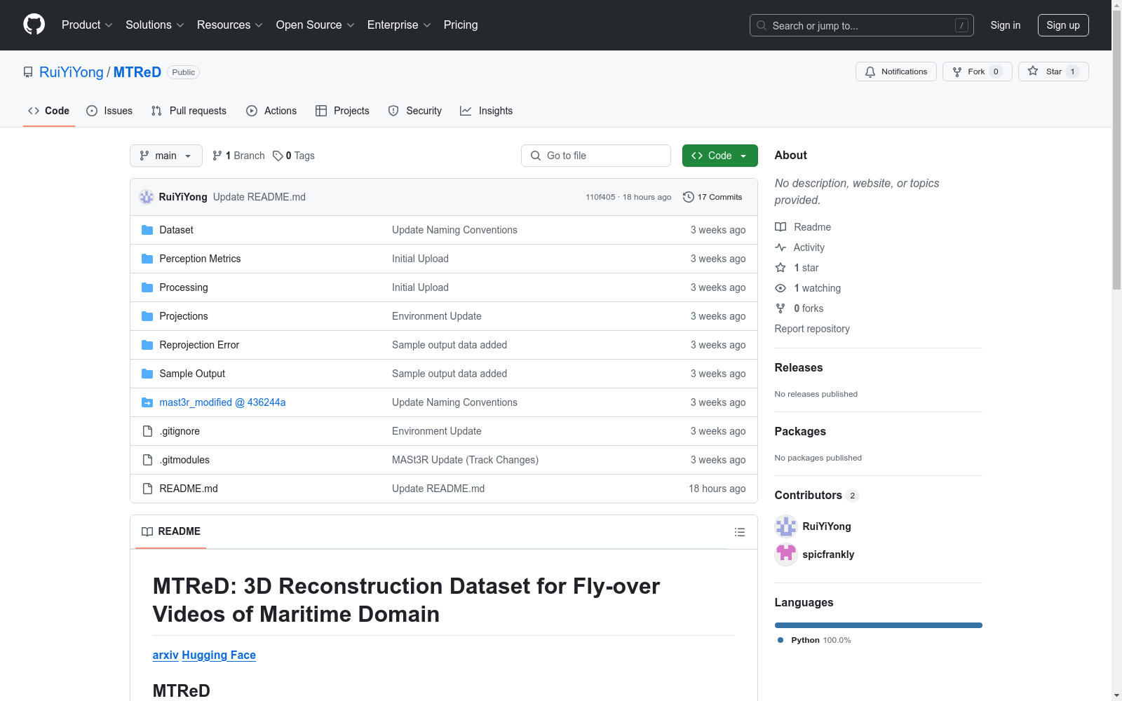
- 1MTReD: 3D Reconstruction Dataset for Fly-over Videos of Maritime DomainShield AI, Monash University, Queensland University of Technology · 2025年


