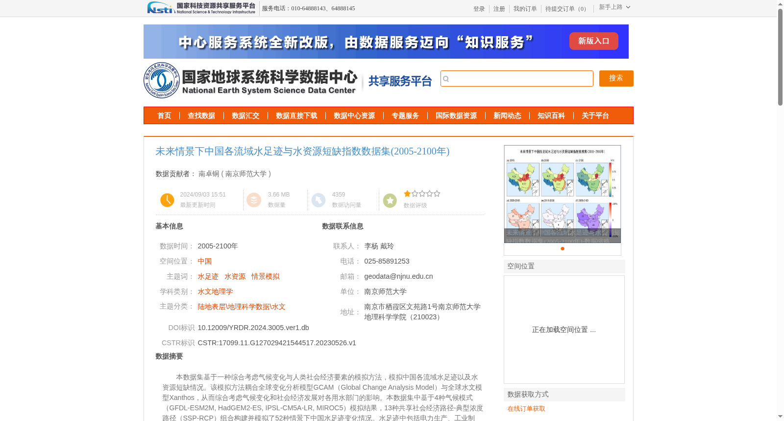
未来情景下中国各流域水足迹与水资源短缺指数数据集(2005-2100年)
收藏资源简介:
本数据集基于一种综合考虑气候变化与人类社会经济要素的模拟方法,模拟中国各流域水足迹以及水资源短缺情况。该模拟方法耦合全球变化分析模型GCAM(Global Change Analysis Model)与全球水文模型Xanthos,从而综合考虑气候变化和社会经济发展对各用水部门的影响。本数据集中基于4种气候模式(GFDL-ESM2M, HadGEM2-ES, IPSL-CM5A-LR, MIROC5)模拟结果,13种共享社会经济路径-典型浓度路径(SSP-RCP)组合构建并模拟了52种情景下中国水足迹变化情况。水足迹中包括电力生产、工业制造、初级能源生产、农业灌溉、畜牧业、市政6个部门水足迹。基于SSP2-RCP6.0情景下水足迹模拟结果,研究使用水足迹与可用水量比值构建缺水指数 WSI 以描述该情景下水资源短缺情况。本数据集包括三部分:未来情景下中国各流域水足迹数据集(2005-2100年)、未来情景下中国各流域水资源短缺指数数据集(2005-2100年)以及研究使用的流域边界数据。
This dataset is developed based on a simulation approach that comprehensively accounts for climate change and human socio-economic factors, aiming to simulate water footprints and water resource scarcity across river basins in China. This approach couples the Global Change Analysis Model (GCAM) and the global hydrological model Xanthos, thus comprehensively assessing the impacts of climate change and socio-economic development on all water-use sectors. This dataset simulates variations in China's water footprints under 52 scenarios, which are constructed using the simulation outputs of four climate models (GFDL-ESM2M, HadGEM2-ES, IPSL-CM5A-LR, MIROC5) and 13 SSP-RCP combinations, i.e., pairs of Shared Socioeconomic Pathways and Representative Concentration Pathways. The water footprints cover six sectors: electricity generation, industrial manufacturing, primary energy production, agricultural irrigation, animal husbandry, and municipal water use. Based on the water footprint simulation results under the SSP2-RCP6.0 scenario, this study develops the Water Scarcity Index (WSI) as the ratio of water footprint to available water volume to characterize water resource scarcity in this scenario. This dataset comprises three components: 1) the China river basin water footprint dataset under future scenarios (2005–2100), 2) the China river basin water scarcity index dataset under future scenarios (2005–2100), and 3) the river basin boundary data used in this study.