交通廊道典型路区(0.2m-1m)无人机影像数据集(2022-2024)
收藏资源简介:
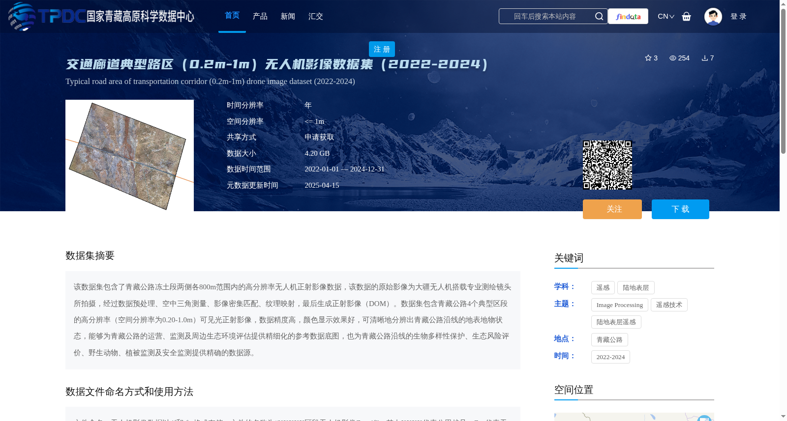
该数据集包含了青藏公路冻土段两侧各800m范围内的高分辨率无人机正射影像数据,该数据的原始影像为大疆无人机搭载专业测绘镜头所拍摄,经过数据预处理、空中三角测量、影像密集匹配、纹理映射,最后生成正射影像(DOM)。数据集包含青藏公路4个典型区段的高分辨率(空间分辨率为0.20-1.0m)可见光正射影像,数据精度高,颜色显示效果好,可清晰地分辨出青藏公路沿线的地表地物状态,能够为青藏公路的运营、监测及周边生态环境评估提供精细化的参考数据底图,也为青藏公路沿线的生物多样性保护、生态风险评价、野生动物、植被监测及安全监测提供精确的数据源。
This dataset contains high-resolution UAV orthophoto data within 800 meters on both sides of the permafrost sections of the Qinghai-Tibet Highway. The raw imagery was captured by DJI UAVs equipped with professional surveying and mapping lenses, and underwent data preprocessing, aerotriangulation, image dense matching and texture mapping to generate the final orthophoto maps (DOM). The dataset includes visible-light orthophoto data of four typical sections of the Qinghai-Tibet Highway, with a spatial resolution ranging from 0.20 to 1.0 m. Featuring high data accuracy and excellent color rendering, the data can clearly distinguish the surface feature conditions along the Qinghai-Tibet Highway. It can provide fine-grained reference base maps for the operation, monitoring and surrounding ecological environment assessment of the Qinghai-Tibet Highway, as well as accurate data sources for biodiversity conservation, ecological risk assessment, wildlife, vegetation and safety monitoring along the highway.