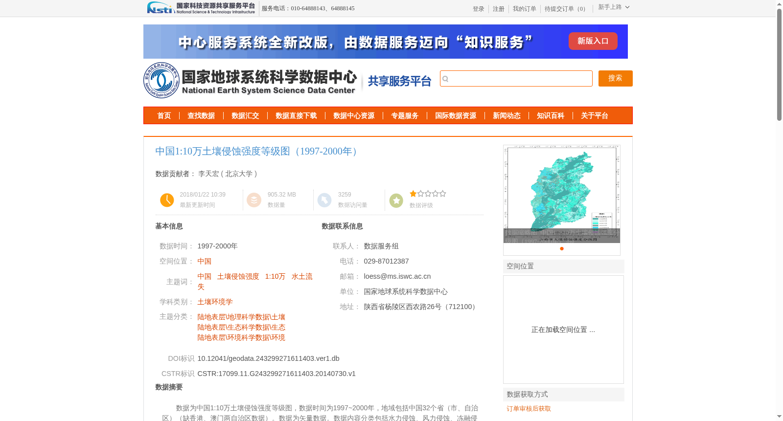
中国1:10万土壤侵蚀强度等级图(1997-2000年)
收藏资源简介:
数据为中国1:10万土壤侵蚀强度等级图,数据时间为1997~2000年,地域包括中国32个省(市、自治区)(缺香港、澳门两自治区数据)。数据为矢量数据。数据内容分类包括水力侵蚀、风力侵蚀、冻融侵蚀、重力侵蚀、工程侵蚀5个一级类别;微度、轻度、中度、强度、极强度、剧烈6个二级另类别。数据集包括安徽1:10万土壤侵蚀强度等级图、北京1:10万土壤侵蚀强度等级图、福建1:10万土壤侵蚀强度等级图等32个最小粒度数集。图中代码见文档后附件。
This dataset contains 1:100,000 scale soil erosion intensity grade maps of China, covering the period from 1997 to 2000. It encompasses 32 provincial-level administrative regions including provinces, municipalities directly under the Central Government, and autonomous regions, with data for Hong Kong and Macau excluded. The dataset is stored in vector format. The data content is classified into 5 first-level categories: water erosion, wind erosion, freeze-thaw erosion, gravitational erosion, and engineering erosion; and 6 second-level categories: slight, light, moderate, intense, very intense, and extreme. This dataset includes 32 sub-datasets at the finest spatial granularity, comprising the 1:100,000 scale soil erosion intensity grade maps of Anhui, Beijing, Fujian, and other provincial-level administrative regions. The legend codes used in the maps are provided in the attachments following this document.