
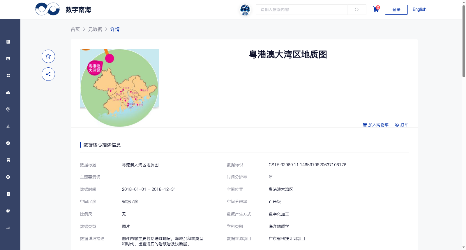
粤港澳大湾区地质图
收藏南海海洋数据中心2024-03-01 收录
官方服务:
资源简介:
图件内容主要包括陆域地层,海域沉积物类型和时代、出露海底的岩浆岩及浅断层。
The content of the map mainly includes continental strata, marine sediment types and their geological ages, magmatic rocks exposed on the seabed, and shallow faults.
提供机构:
广州海洋地质调查局搜集汇总
数据集介绍
背景与挑战
背景概述
该数据集是粤港澳大湾区2018年的地质图,覆盖陆域地层和海域沉积物、岩浆岩及浅断层等地质要素,空间分辨率为百米级,数据质量可靠,适用于海洋地质学研究和区域地质分析。
以上内容由遇见数据集搜集并总结生成


