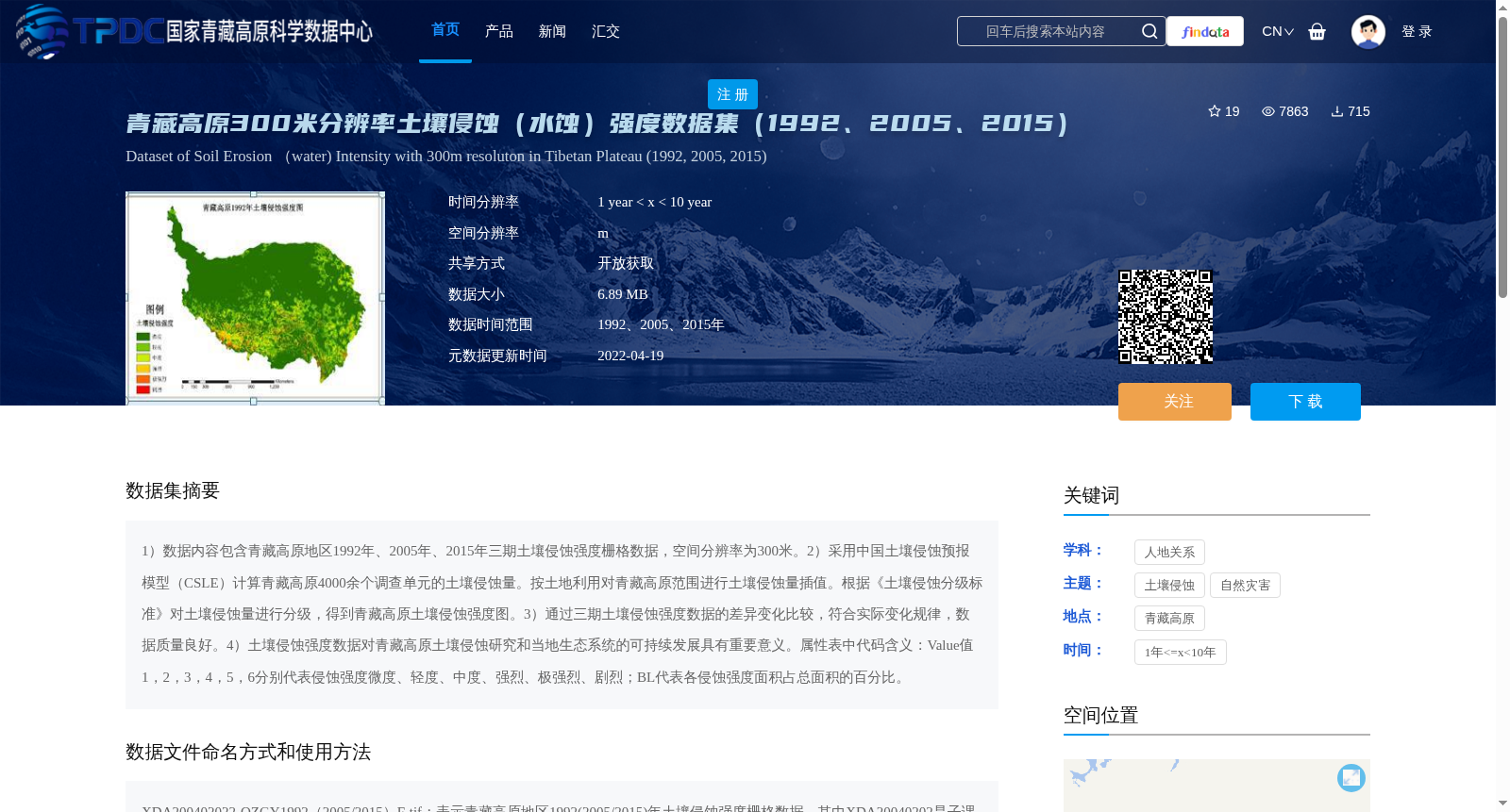
青藏高原300米分辨率土壤侵蚀(水蚀)强度数据集(1992、2005、2015)
收藏资源简介:
1)数据内容包含青藏高原地区1992年、2005年、2015年三期土壤侵蚀强度栅格数据,空间分辨率为300米。2)采用中国土壤侵蚀预报模型(CSLE)计算青藏高原4000余个调查单元的土壤侵蚀量。按土地利用对青藏高原范围进行土壤侵蚀量插值。根据《土壤侵蚀分级标准》对土壤侵蚀量进行分级,得到青藏高原土壤侵蚀强度图。3)通过三期土壤侵蚀强度数据的差异变化比较,符合实际变化规律,数据质量良好。4)土壤侵蚀强度数据对青藏高原土壤侵蚀研究和当地生态系统的可持续发展具有重要意义。属性表中代码含义:Value值1,2,3,4,5,6分别代表侵蚀强度微度、轻度、中度、强烈、极强烈、剧烈;BL代表各侵蚀强度面积占总面积的百分比。
1) The dataset includes three phases of grid data of soil erosion intensity in the Qinghai-Tibet Plateau in 1992, 2005 and 2015, with a spatial resolution of 300 meters. 2) The Chinese Soil Loss Equation (CSLE) was used to calculate the soil erosion amount of more than 4000 survey units in the Qinghai-Tibet Plateau. The soil erosion amount was interpolated over the Qinghai-Tibet Plateau based on land use types, and then classified according to the *Soil Erosion Classification Standard* to obtain the soil erosion intensity map of the Qinghai-Tibet Plateau. 3) Comparison of the differences and changes among the three phases of soil erosion intensity data shows that the results conform to the actual change patterns, indicating good data quality. 4) The soil erosion intensity data is of great significance for the study of soil erosion on the Qinghai-Tibet Plateau and the sustainable development of the local ecosystem. The meanings of the codes in the attribute table are as follows: Value values 1, 2, 3, 4, 5 and 6 represent slight, light, moderate, intense, extremely intense and severe erosion intensity respectively; BL represents the percentage of the area of each erosion intensity class to the total area.