
PIE-Ortho 卫星影像测绘处理软件
收藏官方服务:
资源简介:
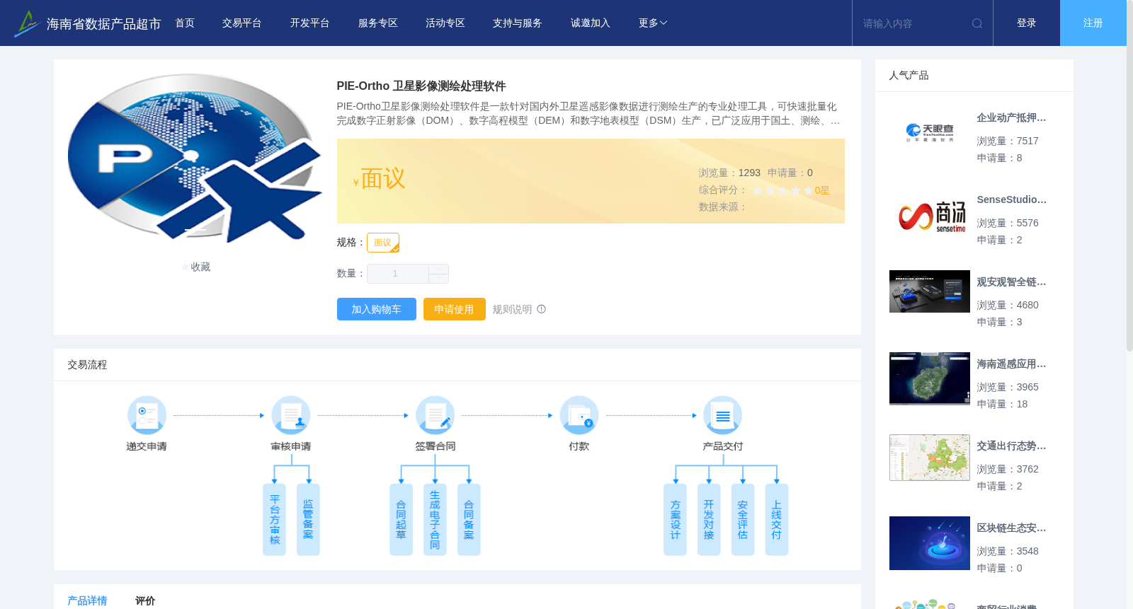
PIE-Ortho卫星影像测绘处理软件是一款针对国内外卫星遥感影像数据进行测绘生产的专业处理工具,可快速批量化完成数字正射影像(DOM)、数字高程模型(DEM)和数字地表模型(DSM)生产,已广泛应用于国土、测绘、农业、林业、水利、环保等相关行业。
PIE-Ortho satellite image surveying and mapping processing software is a professional tool for surveying and mapping production using domestic and foreign satellite remote sensing image data. It can rapidly batch-produce Digital Orthophoto Map (DOM), Digital Elevation Model (DEM) and Digital Surface Model (DSM), and has been widely applied in relevant industries including land management, surveying and mapping, agriculture, forestry, water conservancy, environmental protection and others.
提供机构:
航天宏图信息技术股份有限公司创建时间:
2022-06-16
搜集汇总
数据集介绍
背景与挑战
背景概述
PIE-Ortho是一款专业卫星影像处理软件,支持批量生成DOM、DEM和DSM测绘产品,广泛应用于国土、农林、环保等多个行业领域。
以上内容由遇见数据集搜集并总结生成


