全球Landsat8优质影像数据集
收藏资源简介:
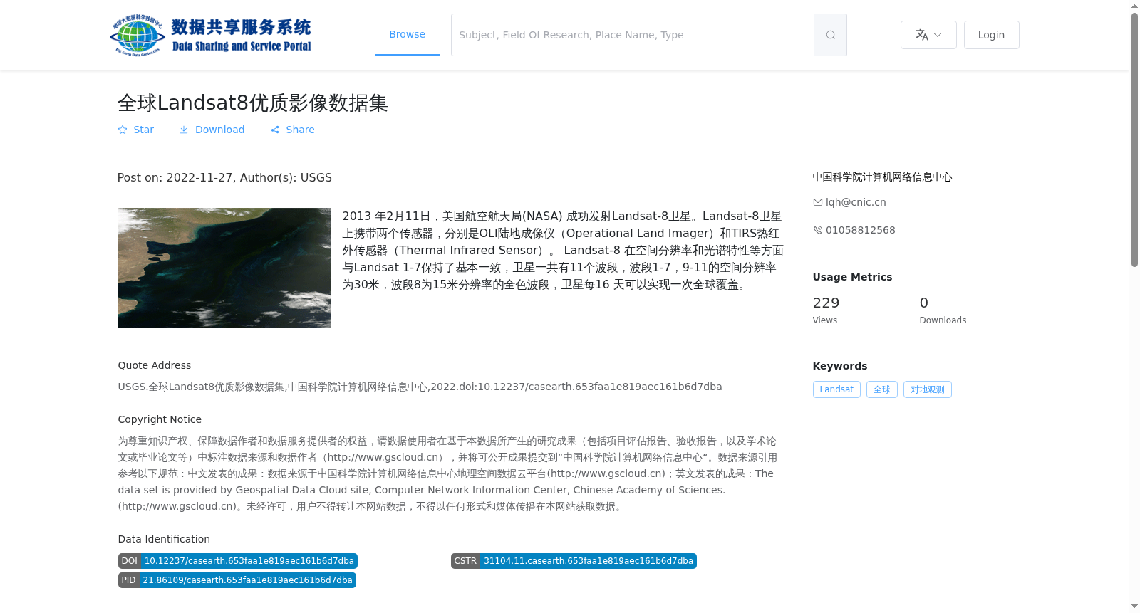
2013 年2月11日,美国航空航天局(NASA) 成功发射Landsat-8卫星。Landsat-8卫星上携带两个传感器,分别是OLI陆地成像仪(Operational Land Imager)和TIRS热红外传感器(Thermal Infrared Sensor)。 Landsat-8 在空间分辨率和光谱特性等方面与Landsat 1-7保持了基本一致,卫星一共有11个波段,波段1-7,9-11的空间分辨率为30米,波段8为15米分辨率的全色波段,卫星每16 天可以实现一次全球覆盖。
On February 11, 2013, the National Aeronautics and Space Administration (NASA) successfully launched the Landsat-8 satellite. The Landsat-8 satellite carries two sensors: the Operational Land Imager (OLI) and the Thermal Infrared Sensor (TIRS). Landsat-8 maintains basic consistency with Landsat 1-7 in terms of spatial resolution, spectral characteristics and other aspects. The satellite has a total of 11 bands. The spatial resolution of Bands 1-7 and 9-11 is 30 meters, while Band 8 is a 15-meter-resolution panchromatic band. The satellite can achieve global coverage once every 16 days.