
天津市海洋功能区划(2011-2020)图件
收藏官方服务:
资源简介:
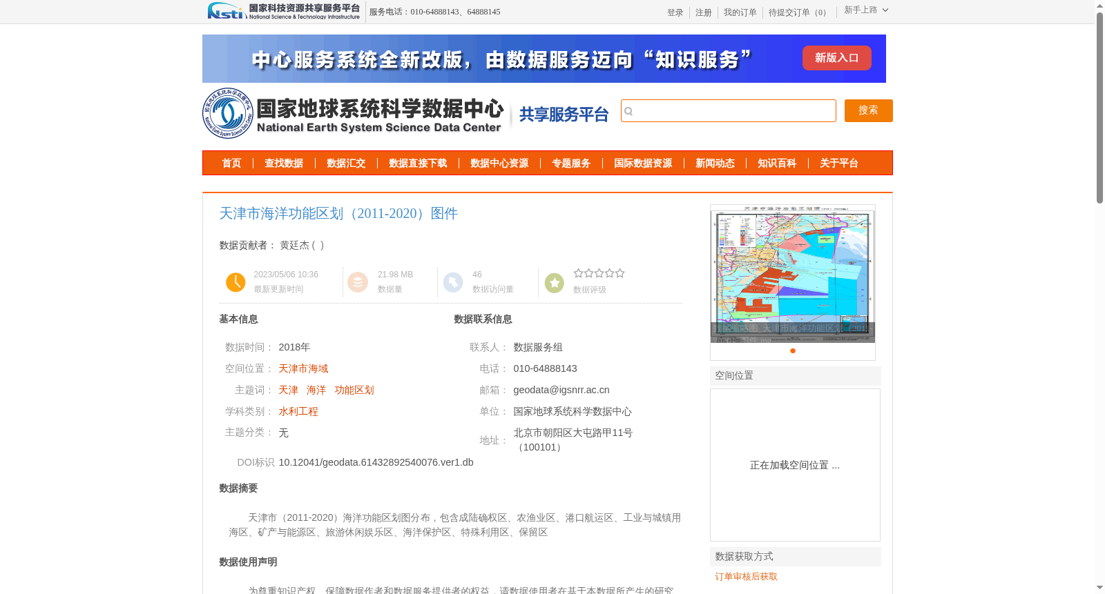
天津市(2011-2020)海洋功能区划图分布,包含成陆确权区、农渔业区、港口航运区、工业与城镇用海区、矿产与能源区、旅游休闲娱乐区、海洋保护区、特殊利用区、保留区
Distribution of Tianjin (2011-2020) Marine Functional Zoning Map, including land-established and right-confirmed areas, agricultural and fishery areas, port and shipping areas, industrial and urban sea-use areas, mineral and energy resources areas, tourism, leisure and entertainment areas, marine protected areas, special utilization areas and reserved areas
创建时间:
2023-05-06
搜集汇总
数据集介绍
背景与挑战
背景概述
该数据集为天津市2011-2020年海洋功能区划图件,包含成陆确权区、农渔业区、港口航运区等九类功能区划信息,数据来源于天津市规划和自然资源局,适用于水利工程等学科研究。
以上内容由遇见数据集搜集并总结生成


