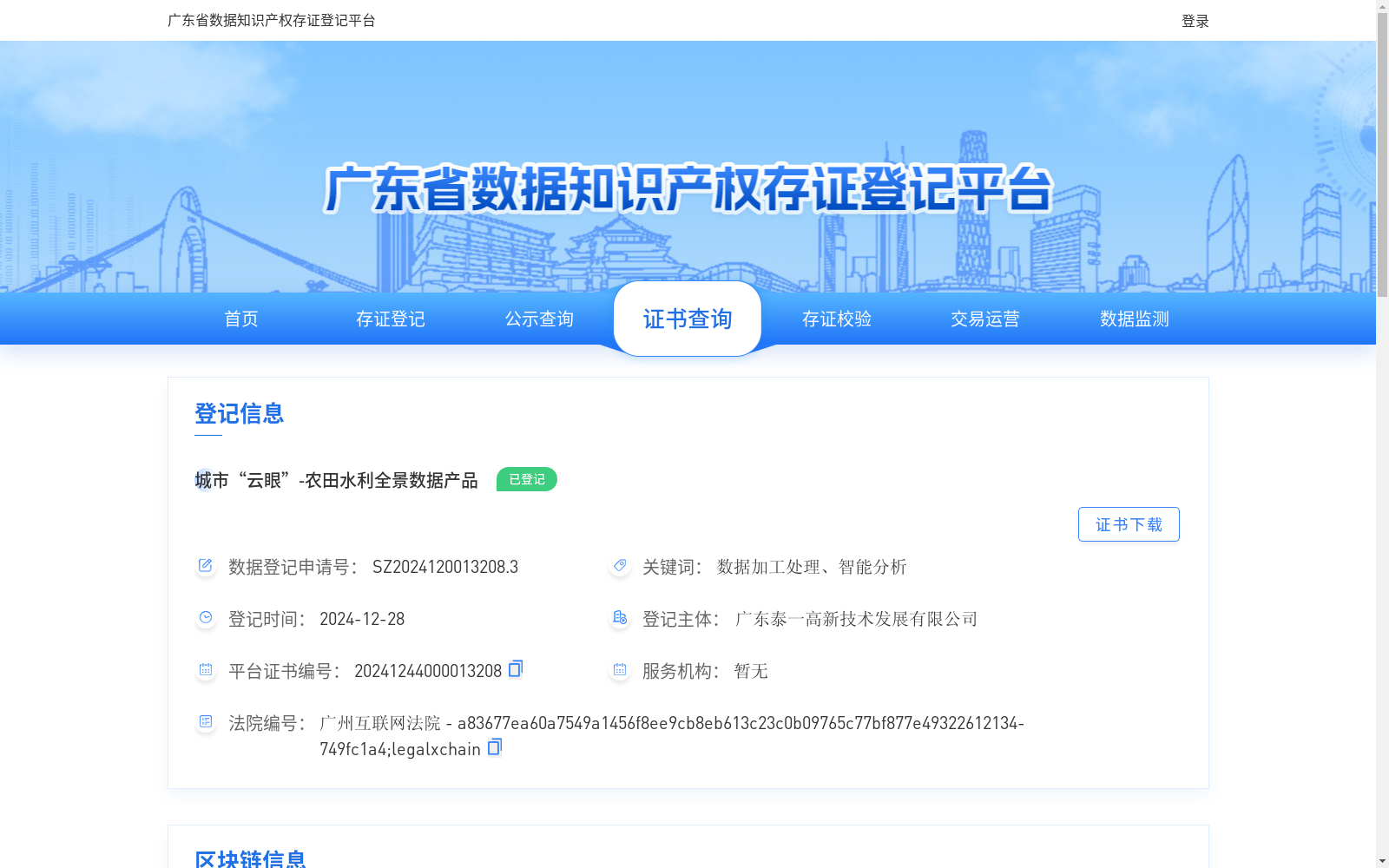
城市“云眼”-农田水利全景数据产品
收藏资源简介:
城市“云眼”-农田水利全景数据基于无人机航拍技术经数据加工处理与智能分析,形成农田水利全景数据。有助于实现农田水资源的科学、合理、高效利用和管理,优化农作物种植结构,提高产量和质量,促进农业的可持续发展,同时为农田水利工程规划提供更准确的决策依据,优化农业产业结构,提升农田水利设施的管理效率。
Urban "Cloud Eye" - Panoramic Data of Farmland Water Conservancy is generated based on unmanned aerial vehicle (UAV) aerial photography technology through data processing, refinement and intelligent analysis. This dataset facilitates the scientific, rational, efficient utilization and management of farmland water resources, optimizes crop planting structures, improves crop yield and quality, and promotes the sustainable development of agriculture. Meanwhile, it provides more accurate decision-making basis for farmland water conservancy project planning, optimizes the agricultural industrial structure, and enhances the management efficiency of farmland water conservancy facilities.