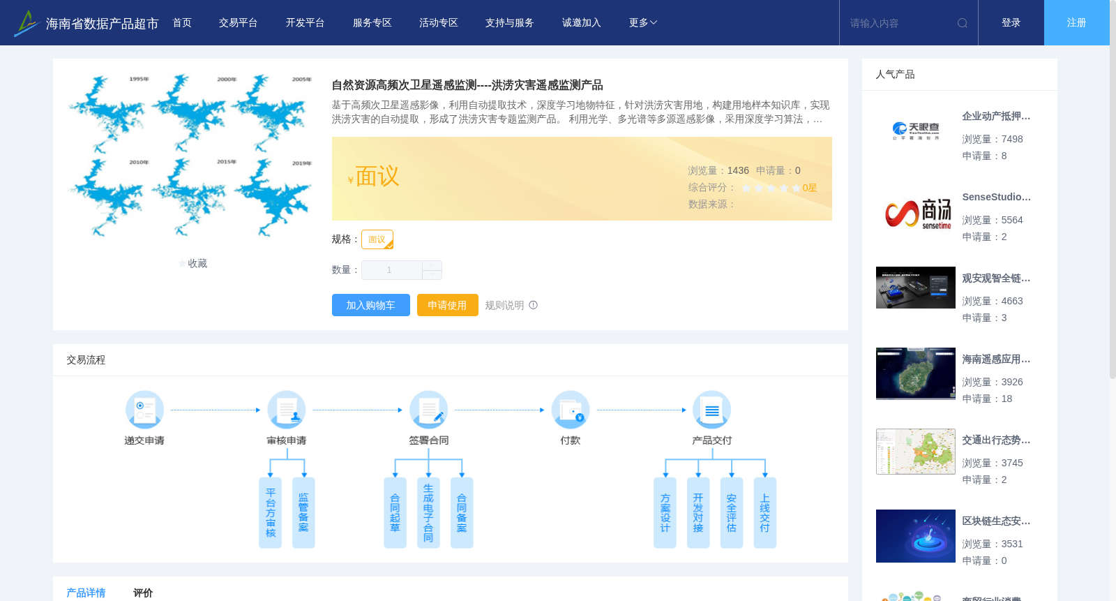
自然资源高频次卫星遥感监测----洪涝灾害遥感监测产品
收藏资源简介:
基于高频次卫星遥感影像,利用自动提取技术,深度学习地物特征,针对洪涝灾害用地,构建用地样本知识库,实现洪涝灾害的自动提取,形成了洪涝灾害专题监测产品。 利用光学、多光谱等多源遥感影像,采用深度学习算法,开展长时序的洪涝灾害监测,第一时间完成灾前、灾中高频次及长时序监测,为抗洪救灾提供了决策支持。
Based on high-frequency satellite remote sensing imagery, automatic extraction technologies and deep learning models were employed to extract ground object features. A land use sample knowledge base targeting flood disaster-related land use was constructed, enabling automatic extraction of flood disasters and resulting in the development of thematic flood disaster monitoring products. By utilizing multi-source remote sensing imagery including optical and multispectral data and adopting deep learning algorithms, long time series flood disaster monitoring was carried out. High-frequency and long time series monitoring before and during the disaster were completed in a timely manner, providing decision support for flood control and disaster relief.