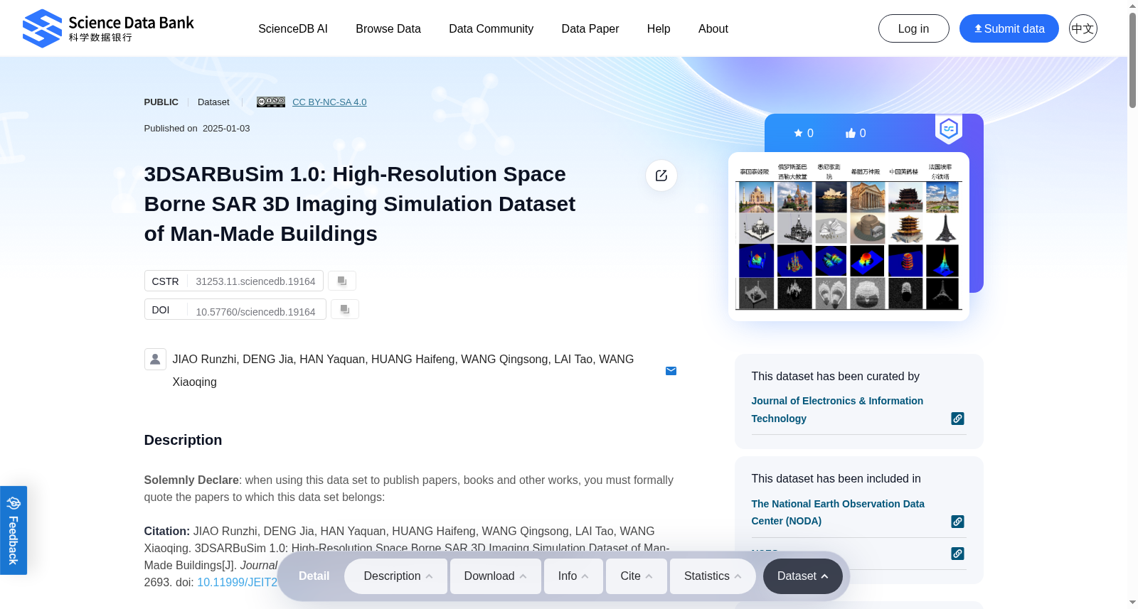
3DSARBuSim 1.0: High-Resolution Space Borne SAR 3D Imaging Simulation Dataset of Man-Made Buildings
收藏资源简介:
Solemnly Declare: when using this data set to publish papers, books and other works, you must formally quote the papers to which this data set belongs:Citation: JIAO Runzhi, DENG Jia, HAN Yaquan, HUANG Haifeng, WANG Qingsong, LAI Tao, WANG Xiaoqing. 3DSARBuSim 1.0: High-Resolution Space Borne SAR 3D Imaging Simulation Dataset of Man-Made Buildings[J]. Journal of Electronics & Information Technology, 2024, 46(7): 2681-2693. doi: 10.11999/JEIT230882Authors: JIAO Runzhi, DENG Jia, HAN Yaquan, HUANG Haifeng, WANG Qingsong, LAI Tao, WANG XiaoqingAuthor Unit: School of Electronics and Communication Engineering, Sun Yat-sen UniversityCorrespondent: HUANG Haifeng,huanghaifeng@mail.sysu.edu.cnOriginal link:3DSARBuSim 1.0:人造建筑高分辨星载SAR三维成像仿真数据集Funds: The National Natural Science Foundation of China (62071499, 62273365)Abstract: Tomographic Synthetic Aperture Radar (TomoSAR) can effectively recover the information of ground objects in steep terrain, and is one of the research hotspots in urban mapping. However, the current public data sets lack the true values of the object models, and cannot quantitatively verify the TomoSAR algorithm. To solve this problem and further promote the development of TomoSAR technology, this paper first proposes an RT-SBRAS (Ray Tracing Based Space Borne Radar Advanced Simulator), which can quickly and stably simulate the spaceborne SAR images of complex buildings compared with previous methods. Based on this, the 1.0 version of the 3D SAR Building Simulation (3DSARBuSim) data set is constructed, which contains the full-link simulation data of eight typical building scenes in dual-band and multi-pass. Finally, Orthogonal Matching Pursuit (OMP) and dual-frequency OMP algorithms are verified on the proposed data set, and the data set can provide clear and accurate quantitative comparison for the algorithms.
郑重声明:使用本数据集发表论文、专著等学术成果时,必须正式引用本数据集所属的学术文献: 引用:焦润志、邓佳、韩亚泉、黄海风、王庆松、赖涛、王小庆. 3DSARBuSim 1.0:人造建筑高分辨星载SAR三维成像仿真数据集[J]. 《电子与信息学报》, 2024, 46(7): 2681-2693. doi: 10.11999/JEIT230882 作者:焦润志、邓佳、韩亚泉、黄海风、王庆松、赖涛、王小庆 作者单位:中山大学电子与通信工程学院 通讯作者:黄海风,huanghaifeng@mail.sysu.edu.cn 原始链接:3DSARBuSim 1.0:人造建筑高分辨星载SAR三维成像仿真数据集 资助项目:国家自然科学基金(62071499、62273365) 摘要:合成孔径雷达层析成像(Tomographic Synthetic Aperture Radar, TomoSAR)可有效恢复陡坡地形地物信息,是城市测绘领域的研究热点之一。但当前公开数据集缺乏地物模型的真实真值,无法对TomoSAR算法开展定量验证。为解决该问题并进一步推动TomoSAR技术发展,本文首先提出一种基于射线追踪的星载雷达高级模拟器(Ray Tracing Based Space Borne Radar Advanced Simulator, RT-SBRAS),相较于以往方法,该模拟器可快速且稳定地仿真复杂建筑的星载SAR图像。基于此,构建了1.0版本的三维SAR建筑仿真数据集(3DSARBuSim 1.0),该数据集包含双波段、多航过下8类典型建筑场景的全链路仿真数据。最后,本文在所提出的数据集上验证了正交匹配追踪(Orthogonal Matching Pursuit, OMP)及双频OMP算法,该数据集可为相关算法提供清晰准确的定量对比依据。