
Global River Widths from Landsat (GRWL)
收藏DataCite Commons2025-04-10 更新2025-05-10 收录
下载链接:
http://india.climateverse.net/citation?persistentId=doi:10.71646/GPGNEP
下载链接
链接失效反馈官方服务:
资源简介:
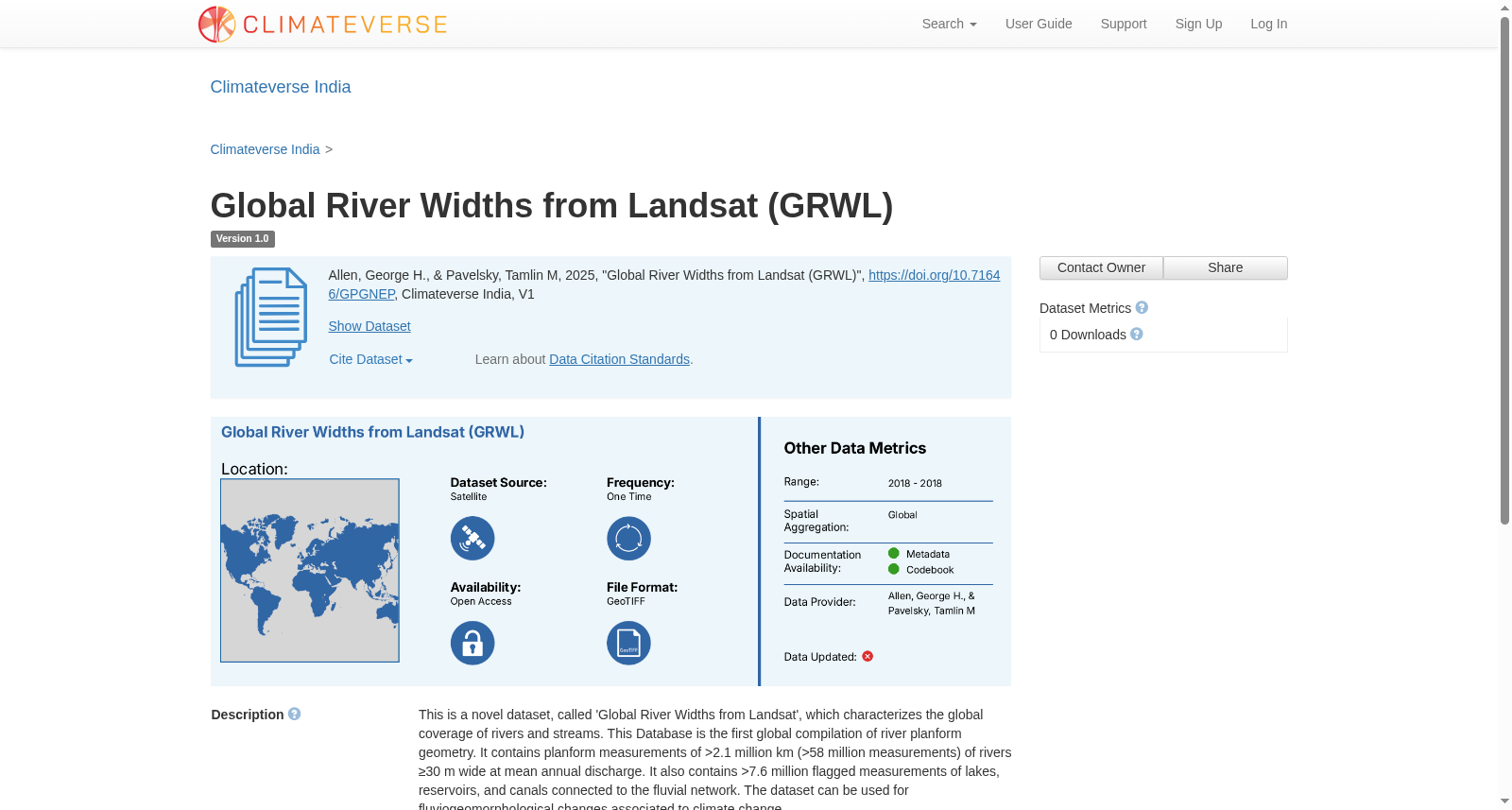
This is a novel dataset, called 'Global River Widths from Landsat', which characterizes the global coverage of rivers and streams. This Database is the first global compilation of river planform geometry. It contains planform measurements of >2.1 million km (>58 million measurements) of rivers ≥30 m wide at mean annual discharge. It also contains >7.6 million flagged measurements of lakes, reservoirs, and canals connected to the fluvial network. The dataset can be used for fluviogeomorphological changes associated to climate change.
本数据集为一款新型科研数据集,命名为全球Landsat河道宽度数据集(Global River Widths from Landsat),旨在刻画全球河流与溪流的覆盖格局。作为全球首份河流平面形态几何特征的汇编数据集,其包含年平均径流量条件下、宽度≥30米的河流共计超210万千米的平面形态测量数据,对应超5800万次独立测量结果。此外,数据集还收录了与河网相连的湖泊、水库及人工渠道共计超760万条带标注测量数据。该数据集可用于开展与气候变化相关的河流地貌变化研究。
提供机构:
Climateverse India创建时间:
2025-04-10
搜集汇总
数据集介绍
背景与挑战
背景概述
该数据集是全球首个河流平面几何汇编数据,包含超过210万公里河流的宽度测量(河流宽度≥30米),以及超过760万次湖泊、水库和运河的标记测量,时间范围为2018年,空间分辨率为30米。它主要用于研究气候变化引起的河流地貌变化,数据以GeoTIFF格式提供,可通过Zenodo和Google Earth Engine开放访问。
以上内容由遇见数据集搜集并总结生成


