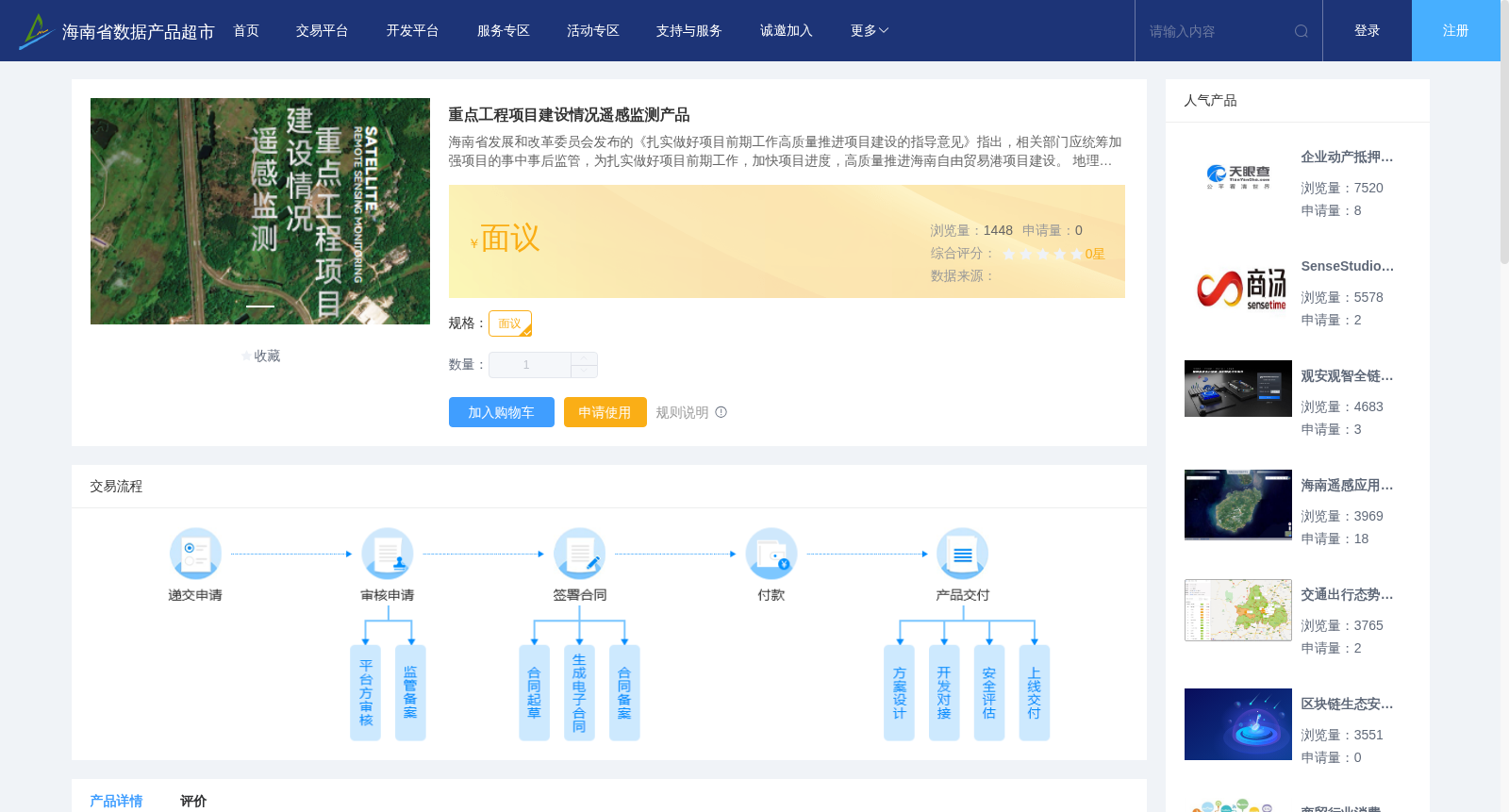
重点工程项目建设情况遥感监测产品
收藏资源简介:
海南省发展和改革委员会发布的《扎实做好项目前期工作高质量推进项目建设的指导意见》指出,相关部门应统筹加强项目的事中事后监管,为扎实做好项目前期工作,加快项目进度,高质量推进海南自由贸易港项目建设。 地理信息和卫星遥感技术能够实时、全面、快速、准确地掌握工程位置、工程面积、工程进度等信息,方便方便相关部门对重点工程项目的管理、监督和科学决策。 利用高分辨率遥感卫星,对项目所在区域进行每季度一次的卫星覆盖拍摄,通过不同时相遥感影像数据,依据工程项目建设特点、工艺流程、空间布局等特点,提取工程建设现状和变化信息,识别项目是否开工,统计项目建设进展面积、目标地物数量和百分比等,分析项目建设进展情况,实现重点项目事中事后监管。
The Guiding Opinions on Solidly Carrying Out Preliminary Project Work and Promoting Project Construction with High Quality issued by the Hainan Provincial Development and Reform Commission stipulates that relevant departments should comprehensively strengthen the in-process and ex-post supervision of projects, so as to solidly carry out preliminary project work, accelerate project progress, and promote the construction of Hainan Free Trade Port projects with high quality. Geographic information and satellite remote sensing technologies can obtain information such as project location, construction area and construction progress in real time, comprehensively, rapidly and accurately, facilitating relevant departments' management, supervision and scientific decision-making for key engineering projects. Using high-resolution remote sensing satellites, quarterly satellite coverage imaging is conducted for the areas where the projects are located. Based on multi-temporal remote sensing image data and the characteristics of project construction, technological processes and spatial layout, information on the current status and changes of project construction is extracted, whether the project has started is identified, statistics such as the progress area of project construction, the quantity and percentage of target features are compiled, the progress of project construction is analyzed, so as to achieve in-process and ex-post supervision of key projects.