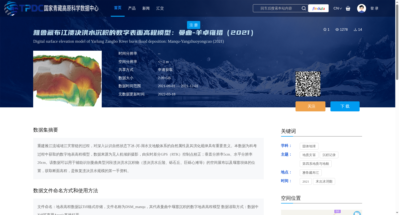
雅鲁藏布江溃决洪水沉积的数字表面高程模型:曼曲-羊卓雍措(2021)
收藏资源简介:
重建雅江流域堵江灾害链的过程,对深入认识自然状态下冰-河-湖水文地貌体系的自然属性及其演化规律具有重要意义。本数据为科考过程中获取的数字地表高程模型,数据来源为无人机倾斜摄影,由实时差分GPS(RTK)控制点校正;垂直分辨率5cm、水平分辨率20cm。该数据可以用于辅助识别曼曲典型河段溃决洪水沉积物(溃决洪水丘陵、砾石丘、巨砾心滩等)的空间展布以及堰塞坝体的位置,获取断面高程,是恢复溃决洪水规模的第一手资料。
Reconstructing the dammed river disaster chain in the Yalong River Basin is of great significance for deeply understanding the natural attributes and evolutionary laws of the glacier-river-lake hydrological and geomorphological system under natural conditions. This dataset is a digital surface model (DSM) obtained during field surveys, derived from unmanned aerial vehicle (UAV) oblique photography and corrected with real-time kinematic GPS (RTK) control points, with a vertical resolution of 5 cm and a horizontal resolution of 20 cm. This dataset can assist in identifying the spatial distribution of outburst flood sediments (including outburst flood hills, gravel mounds, boulder mid-channel bars, etc.) in typical reaches of the Manqu River, as well as the locations of barrier dam bodies, and obtain cross-sectional elevations, serving as primary data for reconstructing the scale of outburst floods.