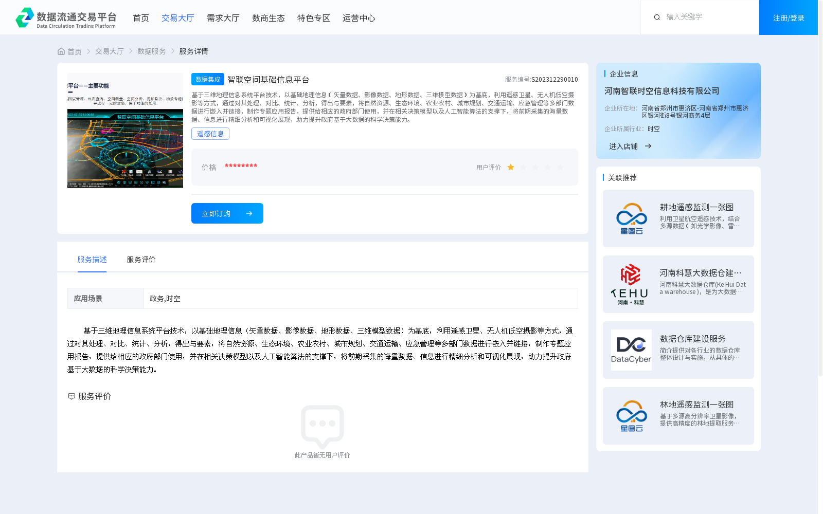
智联空间基础信息平台
收藏资源简介:
基于三维地理信息系统平台技术,以基础地理信息(矢量数据、影像数据、地形数据、三维模型数据)为基底,利用遥感卫星、无人机低空摄影等方式,通过对其处理、对比、统计、分析,得出与要素,将自然资源、生态环境、农业农村、城市规划、交通运输、应急管理等多部门数据进行嵌入并链接,制作专题应用报告,提供给相应的政府部门使用,并在相关决策模型以及人工智能算法的支撑下,将前期采集的海量数据、信息进行精细分析和可视化展现,助力提升政府基于大数据的科学决策能力。
Based on 3D geographic information system (GIS) platform technology, this dataset takes foundational geographic information (including vector data, image data, terrain data and 3D model data) as its core foundation. It adopts data acquisition methods such as remote sensing satellites and low-altitude unmanned aerial vehicle (UAV) photography, conducts processing, comparison, statistical calculation and analysis on the acquired data to extract relevant geographic elements, embeds and links multi-departmental data from sectors including natural resources, ecological environment, agriculture and rural affairs, urban planning, transportation and emergency management, compiles thematic application reports for corresponding government departments. Supported by relevant decision-making models and artificial intelligence algorithms, it performs fine-grained analysis and visual display of the massive amounts of data and information collected in the early stage, so as to help improve the government's scientific decision-making capabilities based on big data.