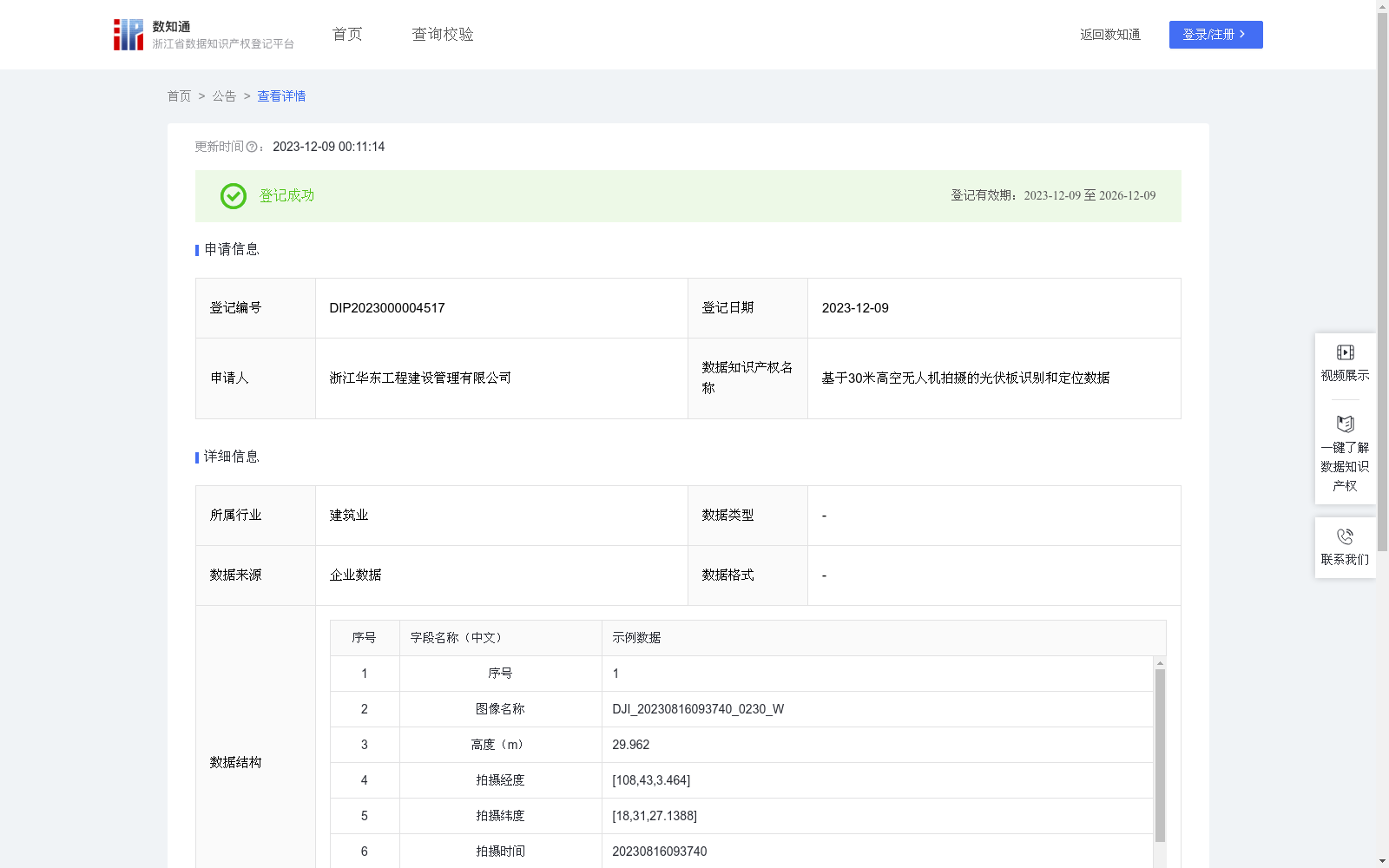
基于30米高空无人机拍摄的光伏板识别和定位数据
收藏资源简介:
用于海上光伏施工方现场进度管理,快速参看统计项目已成功安装的桩基数量,并确定光伏板所在经纬度本数据和算法仅针对海上光伏施工现场图像画面显示,不含个人数据、公共数据,无数据标识体现。本算法是在无人机拍摄的图片中,对光伏板识别和判断。使用光伏板识别算法找出可能的光伏板在图像中的位置,利用设置好的置信度筛选掉错识别的数据,同时结合无人机拍摄时的坐标和高度计算出相对位置。算法规则:光伏板所在经纬度=光伏板图像位置*高度*成像裁剪系数+经纬度坐标
This dataset is intended for on-site schedule management of offshore photovoltaic construction contractors, allowing quick review and statistics of the number of successfully installed pile foundations, as well as determining the longitude and latitude coordinates of photovoltaic panels. This data and algorithm are exclusively applicable to images captured at offshore photovoltaic construction sites, and do not include any personal or public data, with no data identifiers associated. This algorithm conducts photovoltaic panel recognition and judgment on images captured by unmanned aerial vehicles (UAVs). It uses a photovoltaic panel recognition algorithm to locate potential photovoltaic panels in the images, filters out misrecognized data using preset confidence thresholds, and calculates the relative position by combining the shooting coordinates and altitude during UAV shooting. Algorithm rule: Longitude and latitude of the photovoltaic panel = (Image position of the photovoltaic panel) * Altitude * Imaging cropping coefficient + Initial shooting longitude and latitude coordinates