工程勘察地质数据集
收藏资源简介:
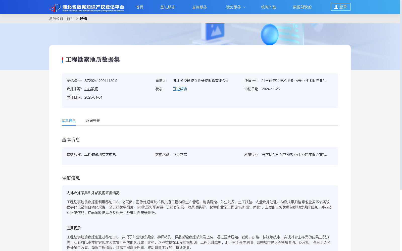
工程勘察地质数据集利用移动GIS、物联网、图像处理等技术将交通工程勘察生产管理、地质调绘、外业勘探、土工试验、内业数据处理、勘察成果归档等各业务环节实现数字化记录和自动化采集,全过程数字留痕,实现“历史可追溯、过程有记录、效果时展示”,勘察作业全过程的“内外业一体化”。主要的业务数据包括地质调绘信息、外业钻孔编录信息、样品试验信息以及相关业务统计图表等数据。
The Geological Dataset for Engineering Survey digitizes and automatically collects data across all business processes of transportation engineering survey—including production management, geological mapping, field exploration, geotechnical testing, office data processing, and survey result archiving—by leveraging technologies such as mobile GIS, Internet of Things (IoT), and image processing. It creates complete digital traces throughout the entire workflow, enabling "traceable history, documented process, and real-time effect display", and realizes the "integration of field and office work" across the entire survey operation. The core business data contained in the dataset include geological mapping information, field borehole logging records, sample test data, and relevant business statistical charts, among others.