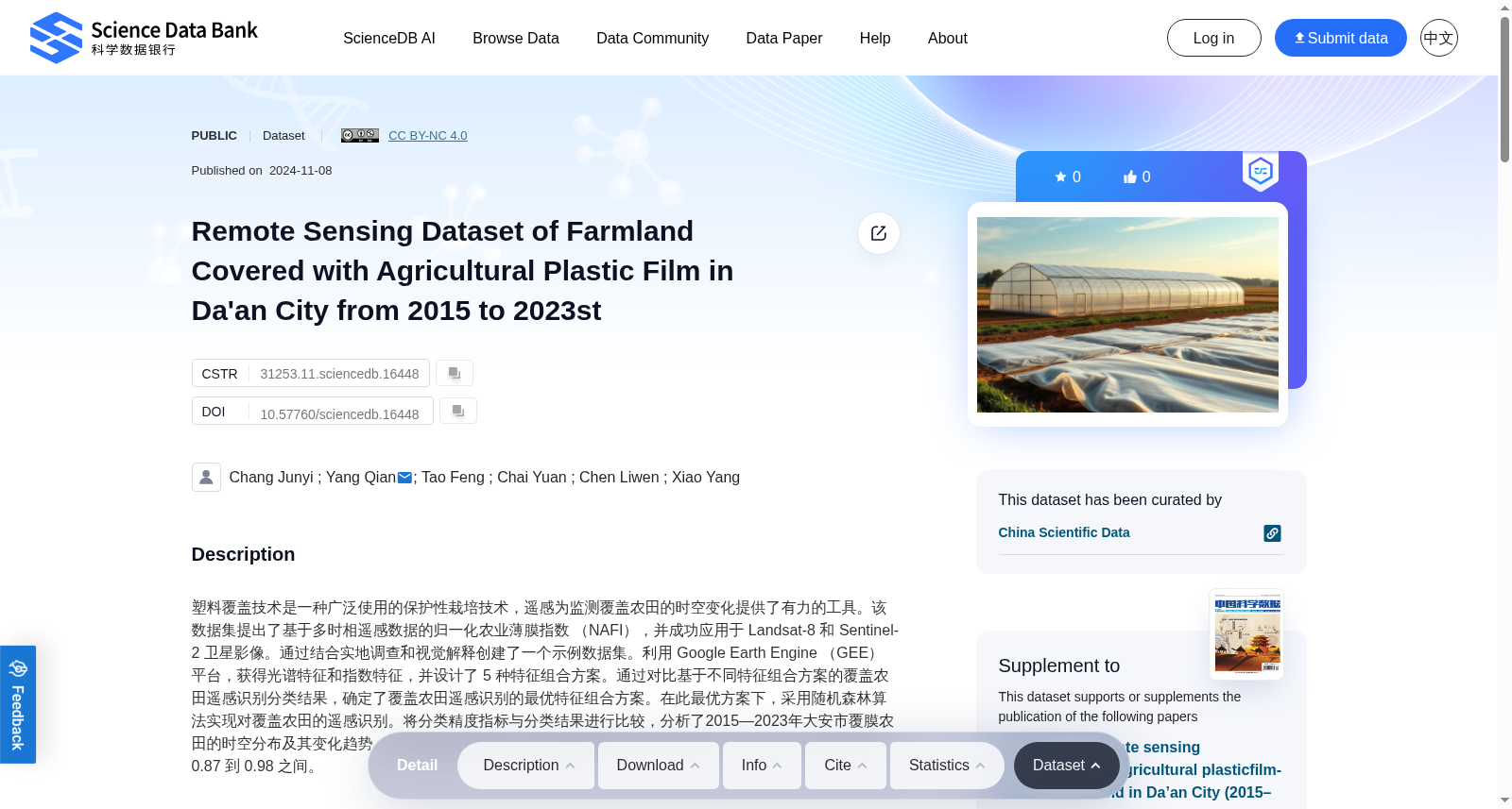
Remote Sensing Dataset of Farmland Covered with Agricultural Plastic Film in Da'an City from 2015 to 2023st
收藏资源简介:
塑料覆盖技术是一种广泛使用的保护性栽培技术,遥感为监测覆盖农田的时空变化提供了有力的工具。该数据集提出了基于多时相遥感数据的归一化农业薄膜指数 (NAFI),并成功应用于 Landsat-8 和 Sentinel-2 卫星影像。通过结合实地调查和视觉解释创建了一个示例数据集。利用 Google Earth Engine (GEE) 平台,获得光谱特征和指数特征,并设计了 5 种特征组合方案。通过对比基于不同特征组合方案的覆盖农田遥感识别分类结果,确定了覆盖农田遥感识别的最优特征组合方案。在此最优方案下,采用随机森林算法实现对覆盖农田的遥感识别。将分类精度指标与分类结果进行比较,分析了2015—2023年大安市覆膜农田的时空分布及其变化趋势。随机森林算法的总体分类准确率在 92.04% 到 99.27% 之间,Kappa 系数在 0.87 到 0.98 之间。
Plastic mulching technology is a widely used protective cultivation technique, while remote sensing provides a powerful tool for monitoring the spatiotemporal changes of mulched farmland. This dataset proposes the Normalized Agricultural Film Index (NAFI) based on multi-temporal remote sensing data, which has been successfully applied to Landsat-8 and Sentinel-2 satellite imagery. A sample dataset was created by combining field surveys and visual interpretation. Using the Google Earth Engine (GEE) platform, spectral features and index features were extracted, and five feature combination schemes were designed. By comparing the remote sensing recognition and classification results of mulched farmland based on different feature combination schemes, the optimal feature combination scheme for remote sensing recognition of mulched farmland was determined. Under this optimal scheme, the random forest algorithm was employed to conduct remote sensing recognition of mulched farmland. By comparing classification accuracy metrics with classification results, the spatiotemporal distribution and change trends of mulched farmland in Daan City from 2015 to 2023 were analyzed. The overall classification accuracy of the random forest algorithm ranges from 92.04% to 99.27%, with the Kappa coefficient ranging from 0.87 to 0.98.