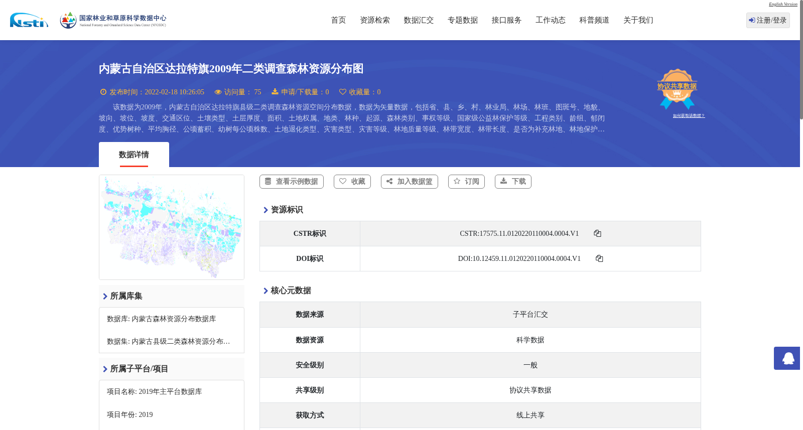
内蒙古自治区达拉特旗2009年二类调查森林资源分布图
收藏资源简介:
该数据为2009年,内蒙古自治区达拉特旗县级二类调查森林资源空间分布数据,数据为矢量数据,包括省、县、乡、村、林业局、林场、林班、图斑号、地貌、坡向、坡位、坡度、交通区位、土壤类型、土层厚度、面积、土地权属、地类、林种、起源、森林类别、事权等级、国家级公益林保护等级、工程类别、龄组、郁闭度、优势树种、平均胸径、公顷蓄积、幼树每公顷株数、土地退化类型、灾害类型、灾害等级、林地质量等级、林带宽度、林带长度、是否为补充林地、林地保护等级、林地功能分区、主导功能分区、是否为稳定林地等属性字段,该数据为森林资源清查、规划设计等提供数据支撑服务。
This dataset contains spatial distribution data of forest resources from the county-level second-class forest inventory conducted in Dalat Banner, Inner Mongolia Autonomous Region in 2009. It is vector-based data with attribute fields including province, county, township, village, forestry bureau, forest farm, compartment, patch number, landform, slope aspect, slope position, slope gradient, transportation location, soil type, soil thickness, area, land ownership, land category, forest category, forest origin, forest classification, management authority grade, national public welfare forest protection grade, project category, forest age group, canopy density, dominant tree species, average diameter at breast height (DBH), stock volume per hectare, number of young trees per hectare, land degradation type, disaster type, disaster grade, woodland quality grade, forest belt width, forest belt length, flag for supplementary woodland, woodland protection grade, woodland function zoning, dominant function zoning, and flag for stable woodland. This dataset provides data support for forest resource inventory, planning and design, and other relevant applications.