AerialMegaDepth
收藏资源简介:
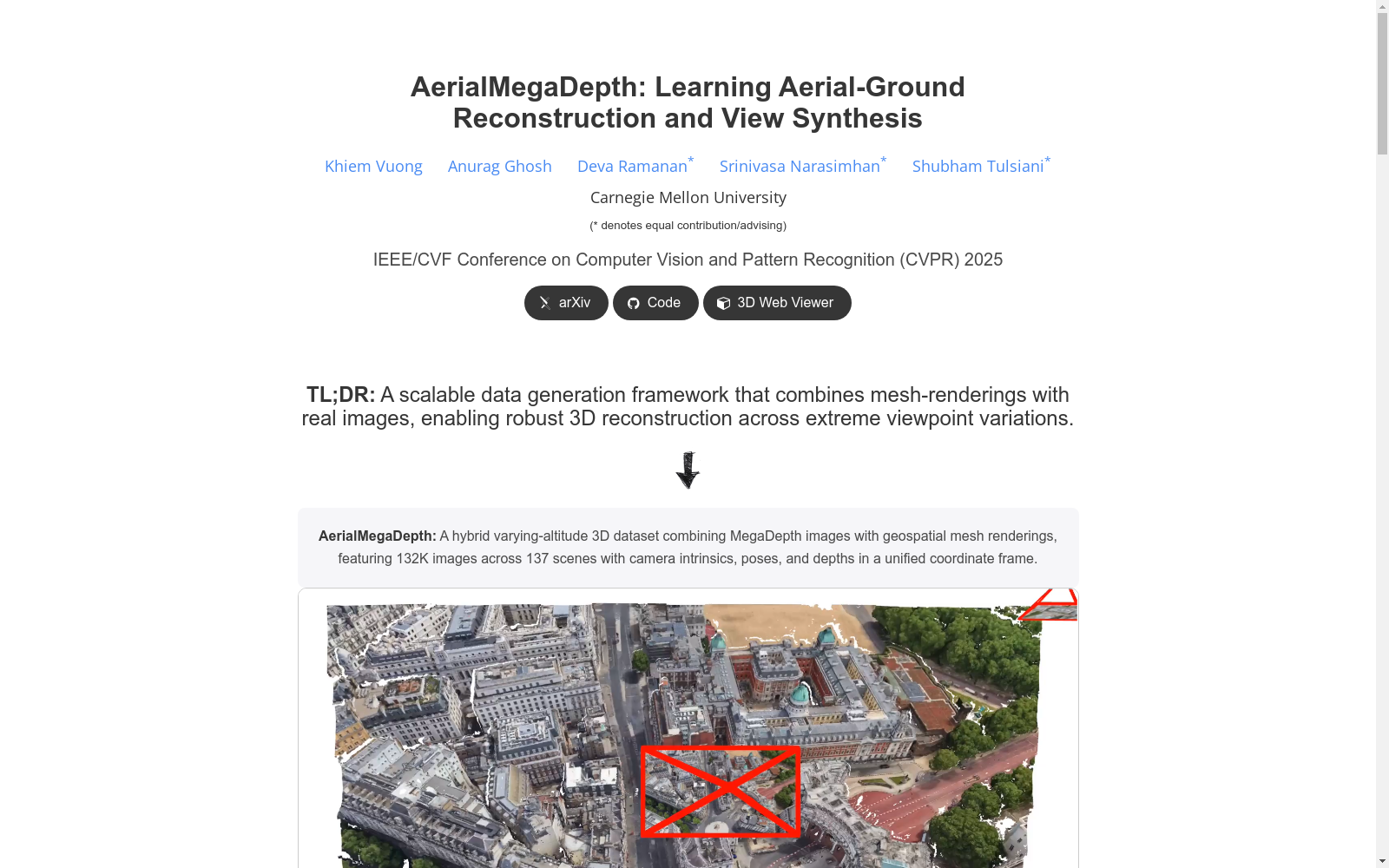
AerialMegaDepth数据集是由卡内基梅隆大学研究者创建的,该数据集结合了伪合成渲染和真实地面图像,旨在推进从地面和空中视角的图像中学习几何重建和视图合成任务。数据集通过将3D城市级网格的伪合成渲染与来自MegaDepth的真实地面级图像在统一坐标系中注册,包含了137个地标和132,137个地理注册图像。该数据集在具有挑战性的地面-空中场景中,显著提高了基于学习的方法在多视图几何预测和新型视图合成任务上的性能。
The AerialMegaDepth dataset was developed by researchers at Carnegie Mellon University. It combines pseudo-synthetic renderings and real ground-level images, aiming to advance geometric reconstruction and view synthesis tasks learned from images captured from both ground and aerial perspectives. The dataset registers pseudo-synthetic renderings of 3D city-scale grids with real ground-level images from MegaDepth in a unified coordinate system, containing 137 landmarks and 132,137 georegistered images. This dataset significantly enhances the performance of learning-based methods on multi-view geometry prediction and novel view synthesis tasks in challenging ground-aerial scenarios.