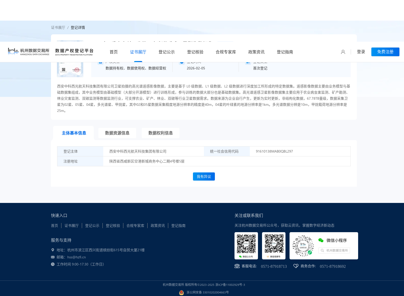
2025年4季度中科西光航天高光谱遥感卫星影像数据集
收藏资源简介:
西安中科西光航天科技集团有限公司卫星拍摄的高光谱遥感影像数据,主要是基于 L0 级数据、L1 级数据、L2 级数据进行深度加工所形成的特定数据集。遥感影像数据主要由业务模型与基础数据集组成,其中业务模型由基础模型(大部分开源模型)进行训练形成,参与训练的数据大部分也是基础数据集。高光谱遥感卫星影像数据集主要应用于农业病虫害监测、矿产勘测、林业灾害监测、双碳监测等数据监测行业,可支撑农业、矿产、林业、双碳等行业卫星数据需求。数据来源为企业自行产生,更新为实时更新,非结构化数据,67.78TB量级,数据采集卫星为02星、05星、04星,多光谱星、甲烷星,其中02和05星数据采集精度地源分辨率的精度是40m,04星的叶绿素的地源分辨率是1km。多光谱数据分辨是10m,甲烷载荷地源分辨率是25m。
This hyperspectral remote sensing image dataset is captured by satellites of Xi'an Zhongke Xiguang Aerospace Technology Group Co., Ltd. It is a specialized dataset formed through in-depth processing of L0, L1, and L2 level remote sensing data. The remote sensing image data is mainly composed of operational models and basic datasets. The operational models are trained using basic models, most of which are open-source, and most of the training data also comes from these basic datasets. This hyperspectral remote sensing satellite image dataset is primarily applied in data monitoring sectors such as agricultural pest monitoring, mineral exploration, forestry disaster monitoring, and carbon peaking and carbon neutrality monitoring, and can meet satellite data demands of agriculture, mineral, forestry, and carbon peaking and carbon neutrality related industries. The data is self-generated by the enterprise, updated in real time, and consists of unstructured data with a total volume of 67.78 TB. The data collection satellites include Satellite 02, Satellite 05, Satellite 04, a multispectral satellite, and a methane satellite. The ground sampling distance (GSD) of data collected by Satellite 02 and Satellite 05 is 40 meters. The chlorophyll-related data from Satellite 04 has a GSD of 1 kilometer. The multispectral data has a GSD of 10 meters, and the methane payload has a GSD of 25 meters.