
西藏昌都地区大地电磁数据
收藏国家青藏高原科学数据中心2025-04-10 更新2024-03-06 收录
下载链接:
https://data.tpdc.ac.cn/zh-hans/data/b089a5b9-6d61-452a-a360-23a1d7d4c203
下载链接
链接失效反馈官方服务:
资源简介:
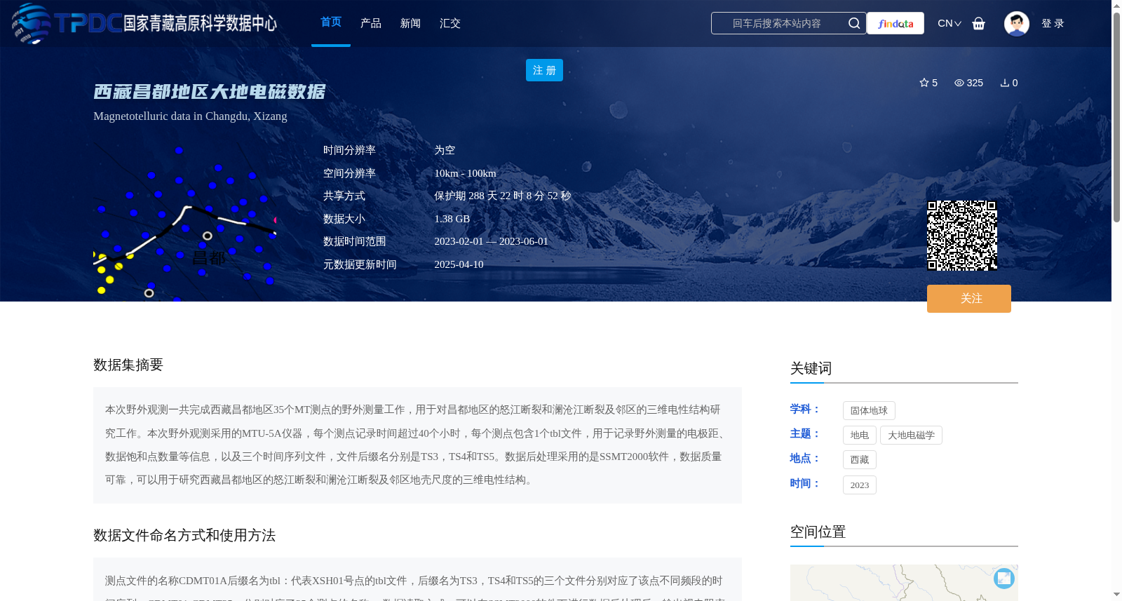
本次野外观测一共完成西藏昌都地区35个MT测点的野外测量工作,用于对昌都地区的怒江断裂和澜沧江断裂及邻区的三维电性结构研究工作。本次野外观测采用的MTU-5A仪器,每个测点记录时间超过40个小时,每个测点包含1个tbl文件,用于记录野外测量的电极距、数据饱和点数量等信息,以及三个时间序列文件,文件后缀名分别是TS3,TS4和TS5。数据后处理采用的是SSMT2000软件,数据质量可靠,可以用于研究西藏昌都地区的怒江断裂和澜沧江断裂及邻区地壳尺度的三维电性结构。
This field survey completed field measurements at 35 magnetotelluric (MT) sounding sites in Qamdo, Tibet, aiming to investigate the 3D electrical structure of the Nujiang Fault, Lancangjiang Fault and their adjacent regions within Qamdo. The MTU-5A instrument was employed for this survey, with each site having a continuous recording duration exceeding 40 hours. Each site includes one .tbl file that records measurement-related information such as electrode spacing and the number of data saturation points, alongside three time-series files with the suffixes TS3, TS4 and TS5 respectively. Data post-processing was conducted using the SSMT2000 software, yielding data of reliable quality that is suitable for studying the crust-scale 3D electrical structure of the Nujiang Fault, Lancangjiang Fault and their adjacent areas in Qamdo, Tibet.
提供机构:
陈小斌创建时间:
2024-02-04
搜集汇总
数据集介绍
背景与挑战
背景概述
该数据集包含西藏昌都地区35个大地电磁测点的观测数据,用于研究怒江断裂和澜沧江断裂及邻区的地壳三维电性结构。数据采集于2023年2月至6月,采用MTU-5A仪器记录,每个测点时间超过40小时,数据格式包括tbl文件和TS3、TS4、TS5时间序列文件,后处理使用SSMT2000软件,确保数据质量可靠。数据集具有1.38 GB大小,空间分辨率在10km至100km之间,覆盖东经96.5°至98.5°、北纬30°至31.5°区域,适用于固体地球科学和地电学研究。
以上内容由遇见数据集搜集并总结生成


