青藏高原微波地表发射率数据集(2021-2022)
收藏资源简介:
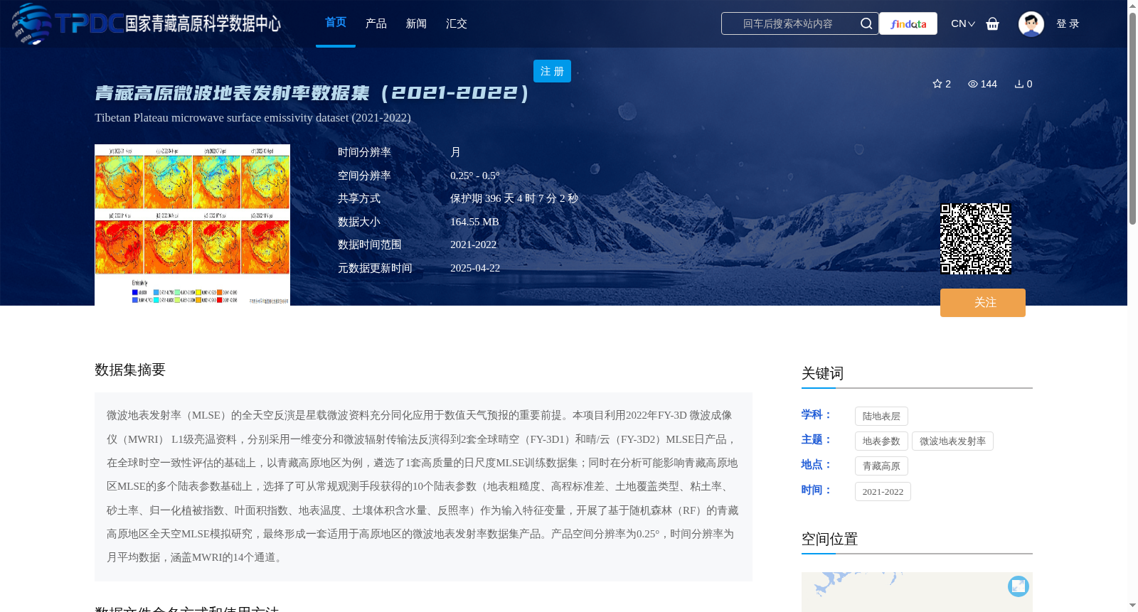
微波地表发射率(MLSE)的全天空反演是星载微波资料充分同化应用于数值天气预报的重要前提。本项目利用2022年FY-3D 微波成像仪(MWRI) L1级亮温资料,分别采用一维变分和微波辐射传输法反演得到2套全球晴空(FY-3D1)和晴/云(FY-3D2)MLSE日产品,在全球时空一致性评估的基础上,以青藏高原地区为例,遴选了1套高质量的日尺度MLSE训练数据集;同时在分析可能影响青藏高原地区MLSE的多个陆表参数基础上,选择了可从常规观测手段获得的10个陆表参数(地表粗糙度、高程标准差、土地覆盖类型、粘土率、砂土率、归一化植被指数、叶面积指数、地表温度、土壤体积含水量、反照率)作为输入特征变量,开展了基于随机森林(RF)的青藏高原地区全天空MLSE模拟研究,最终形成一套适用于高原地区的微波地表发射率数据集产品。产品空间分辨率为0.25°,时间分辨率为月平均数据,涵盖MWRI的14个通道。
All-sky retrieval of microwave land surface emissivity (MLSE) is a critical prerequisite for the full assimilation and application of spaceborne microwave observations in numerical weather prediction (NWP). This study utilized 2022 FY-3D Microwave Radiation Imager (MWRI) Level 1 brightness temperature data, and retrieved two sets of daily global MLSE products: FY-3D1 (clear-sky only) and FY-3D2 (clear and cloudy sky) using one-dimensional variational (1D-Var) and microwave radiative transfer (MRT) methods, respectively. Based on global spatio-temporal consistency assessment, one high-quality daily-scale MLSE training dataset was selected taking the Tibetan Plateau (TP) as a case study. Meanwhile, after analyzing multiple land surface parameters that may affect MLSE over the Tibetan Plateau, 10 land surface parameters obtainable via routine observation methods were selected as input features: surface roughness, elevation standard deviation, land cover type, clay fraction, sand fraction, Normalized Difference Vegetation Index (NDVI), Leaf Area Index (LAI), land surface temperature (LST), soil volumetric water content (SWC), and albedo. An all-sky MLSE simulation study over the Tibetan Plateau based on Random Forest (RF) was conducted, and finally a microwave land surface emissivity dataset product tailored for the plateau region was developed. The product has a spatial resolution of 0.25°, temporal resolution of monthly mean data, and covers 14 channels of MWRI.