郑州公交车辆实时信息
收藏资源简介:
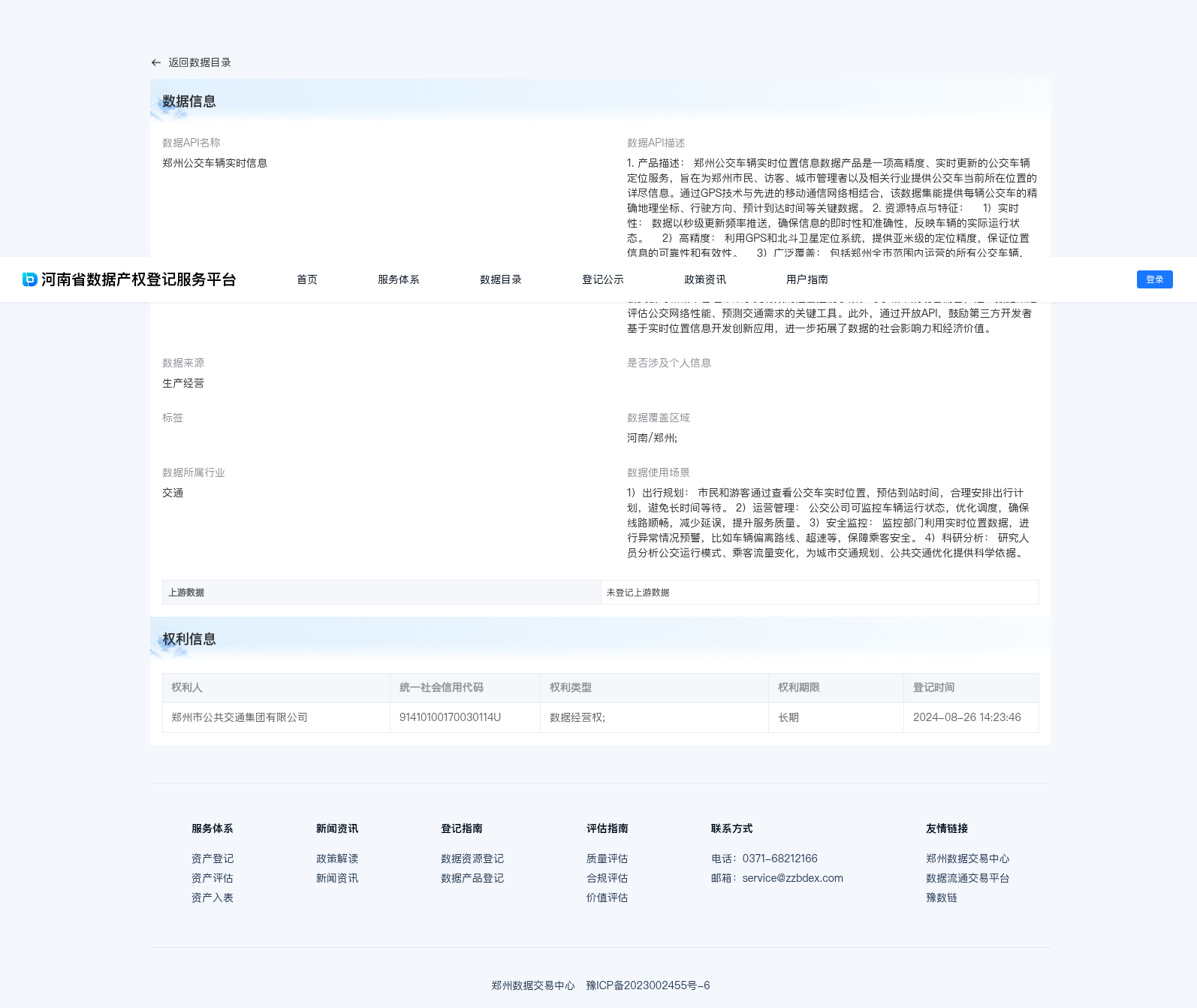
1. 产品描述: 郑州公交车辆实时位置信息数据产品是一项高精度、实时更新的公交车辆定位服务,旨在为郑州市民、访客、城市管理者以及相关行业提供公交车当前所在位置的详尽信息。通过GPS技术与先进的移动通信网络相结合,该数据集能提供每辆公交车的精确地理坐标、行驶方向、预计到达时间等关键数据。 2. 资源特点与特征: 1)实时性: 数据以秒级更新频率推送,确保信息的即时性和准确性,反映车辆的实际运行状态。 2)高精度: 利用GPS和北斗卫星定位系统,提供亚米级的定位精度,保证位置信息的可靠性和有效性。 3)广泛覆盖: 包括郑州全市范围内运营的所有公交车辆,无论是在市区还是郊区,均能获得位置信息。 3. 价值: 郑州公交车辆实时位置信息数据产品的价值在于显著提升了公交系统的透明度和效率,改善了乘客的乘车体验,同时也为公交公司和城市管理带来了更有效的运营控制手段。对于城市规划者而言,这一数据集是评估公交网络性能、预测交通需求的关键工具。此外,通过开放API,鼓励第三方开发者基于实时位置信息开发创新应用,进一步拓展了数据的社会影响力和经济价值。
1. Product Description: Zhengzhou Bus Real-time Location Information Data Product is a high-precision, real-time updated bus positioning service, aiming to provide detailed information on the current location of buses for Zhengzhou citizens, visitors, urban managers and relevant industries. By combining GPS technology and advanced mobile communication networks, this dataset can provide key data including the precise geographic coordinates, travel direction, estimated arrival time and other critical information of each bus. 2. Resource Characteristics and Features: 1) Real-time Performance: The data is pushed at a second-level update frequency to ensure the immediacy and accuracy of the information, which reflects the actual operating status of the vehicles. 2) High Precision: Leveraging GPS and BeiDou satellite positioning systems, it provides sub-meter-level positioning accuracy, guaranteeing the reliability and validity of the location information. 3) Wide Coverage: It covers all public transit buses operating within the entire jurisdiction of Zhengzhou, including both urban areas and suburban regions, with their real-time location information fully accessible. 3. Value: The value of the Zhengzhou Bus Real-time Location Information Data Product lies in significantly enhancing the transparency and operational efficiency of the public transit system, improving passengers' travel experience, and providing more effective operational control means for bus operators and urban management authorities. For urban planners, this dataset serves as a key tool for evaluating the performance of the public transit network and forecasting travel demand. Additionally, through the open API, third-party developers are encouraged to develop innovative applications based on real-time location information, further expanding the social influence and economic value of the dataset.