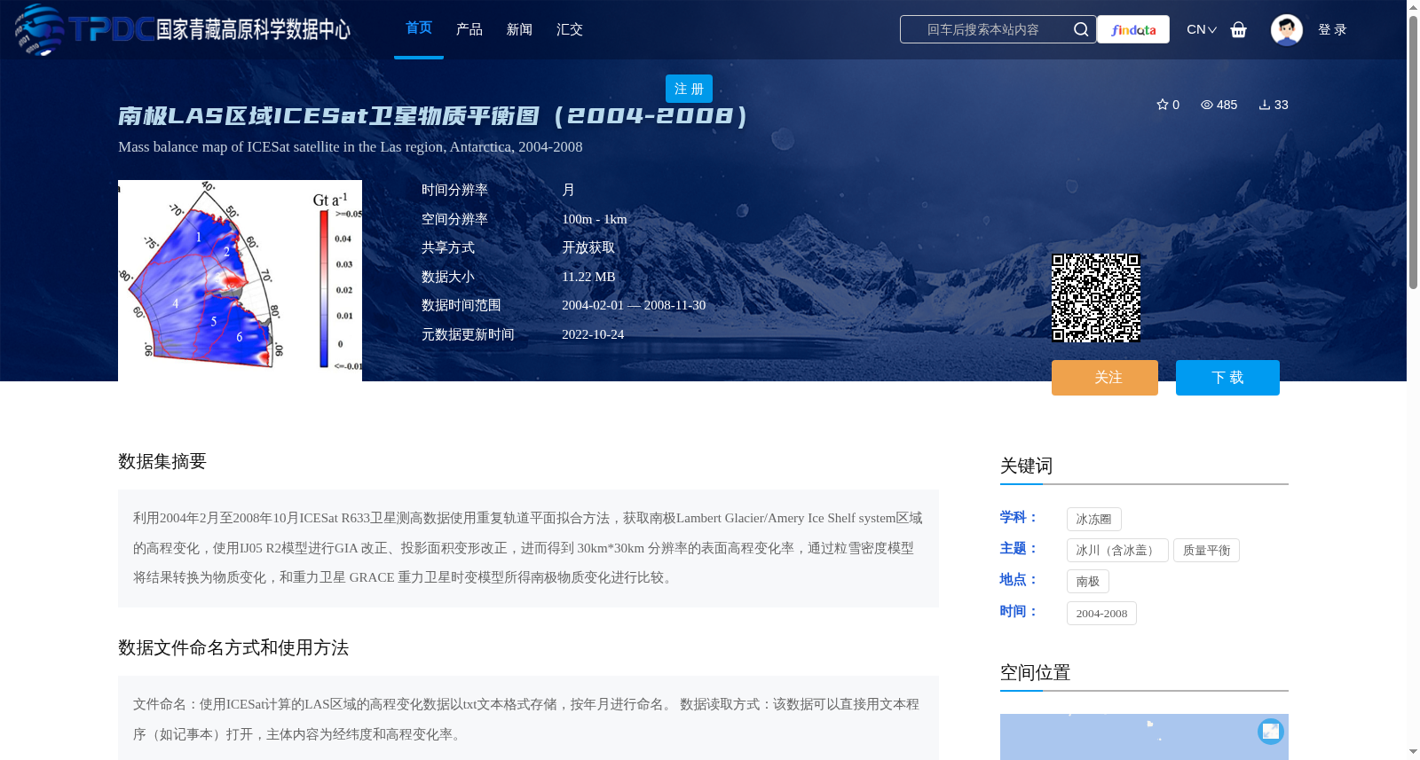
南极LAS区域ICESat卫星物质平衡图(2004-2008)
收藏资源简介:
利用2004年2月至2008年10月ICESat R633卫星测高数据使用重复轨道平面拟合方法,获取南极Lambert Glacier/Amery Ice Shelf system区域的高程变化,使用IJ05 R2模型进行GIA 改正、投影面积变形改正,进而得到 30km*30km 分辨率的表面高程变化率,通过粒雪密度模型将结果转换为物质变化,和重力卫星 GRACE 重力卫星时变模型所得南极物质变化进行比较。
Using ICESat R633 satellite altimetry data spanning February 2004 to October 2008, the repeat-orbit plane fitting method was employed to derive the elevation changes across the Antarctic Lambert Glacier/Amery Ice Shelf system. GIA corrections and projected area deformation corrections were then conducted using the IJ05 R2 model, yielding the surface elevation change rate at a spatial resolution of 30 km × 30 km. The resulting elevation change rate was converted into mass changes via the firn density model, and further compared with the Antarctic mass changes retrieved from the time-variable gravity models of the GRACE gravity satellites.