登录后查看消息通知
搜索
常见问题
消息
登录
首页
/
数据集
/
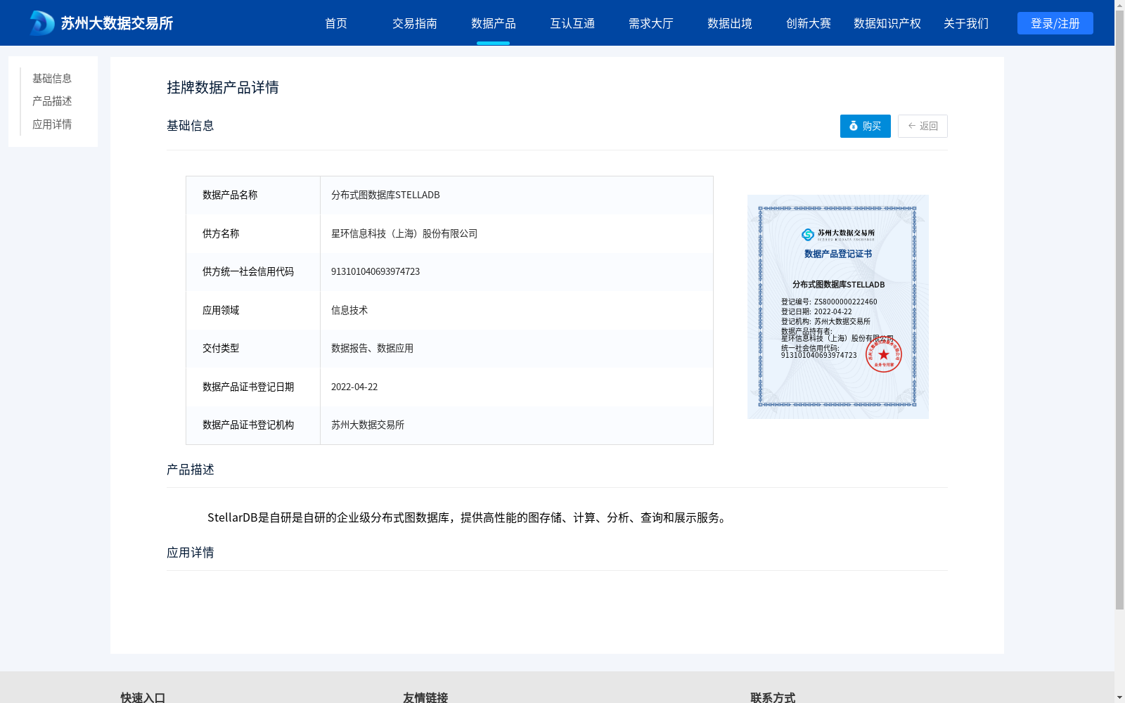
分布式图数据库STELLADB
分布式图数据库STELLADB
收藏
苏州大数据交易所
2022-04-22 更新
2024-04-26 收录
图数据库
企业级应用
数据链接:
https://jy.suzhou.com.cn/#/product-detail/308
数据链接
链接失效反馈
官方服务:
问题咨询
购买咨询
在线客服
NEW
资源简介:
StellarDB是自研是自研的企业级分布式图数据库,提供高性能的图存储、计算、分析、查询和展示服务。
应用场景:
提供机构:
星环信息科技(上海)股份有限公司
创建时间:
2022-04-22
搜集汇总
数据集介绍
背景与挑战
背景概述
分布式图数据库STELLADB是由星环信息科技(上海)股份有限公司提供的企业级分布式图数据库,专注于高性能的图存储、计算、分析、查询和展示服务,适用于信息技术领域。该数据集以数据报告和数据应用的形式交付,并于2022年4月22日在苏州大数据交易所登记。
以上内容由遇见数据集搜集并总结生成
相关数据集
微博市民关注和被关注信息关系图数据库
社交网络分析
图数据库
市民关系图数据库是基于微博用户信息构建的neo4j大规模图数据库,市民信息包括用户昵称、性别、出生年份、所在地区等属性,市民关系包括关注和被关注信息。图数据库节点数量为101066,边数量为124279。图数据库支持Cypher语句对数据库进行相关查询。
国家基础学科公共科学数据中心
69
0
荣泽区块链(RBC)
区块链技术
企业级应用
荣泽区块链(RBC)是一款高性能、高安全、可扩展、易运维的企业级区块链基础平台型产品,采用智能合约组网技术、椭圆曲线加密算法、拜占庭共识算法为一体的区块链技术平台,核心层采用Go语言开发,应用层可以支持JAVA等主流开发语言。RBC是荣泽在区块链技术领域的核心产品,可直接引入已经实现的业务模式,或进行智能合约的定制化开发。具备快速构建上层应用业务的能力,满足大规模用户数量的应用场景。
郑州数据交易中心
2023-06-09 更新
51
0
ArangoDB Example graph data
图数据库
数据集
此仓库包含用于ArangoDB的图形数据集,包括随机用户数据、城市、国家、地区、麦当劳位置、德国县和机场等数据集。
github
2023-10-20 更新
30
0
分布式闪存数据库ARGODB
数据库管理
数据分析
ArgoDB 是星环科技自主研发的分布式分析型闪存数据库,可以替代Hadoop+MPP混合架构。支持标准SQL语法,提供多模分析、实时数据处理、存算解耦、混合负载、数据联邦、异构服务器混合部署等先进技术能力
苏州大数据交易所
2022-04-22 更新
57
0
云数据库PostgreSQL
数据库技术
企业级应用
云数据库PostgreSQL是一款基于开源PostgreSQL的在线数据库服务,在数据一致性、稳定性和安全方面更加可靠。它是一款“一专多长”的全栈数据库,专业面向企业复杂SQL处理的OLTP场景。
贵阳数据交易所
2024-05-10 更新
31
0
© 2023-2026 上海数据发展科技有限责任公司 版权所有
沪ICP备17003045号-15
沪公网安备31010402336585号
热门搜索
社区交流群
科研交流群
商业服务
数据资源
寻源服务
数据采集
标注服务
数据产品
代理销售
数据领域
凭证登记
数据产品
介绍推广