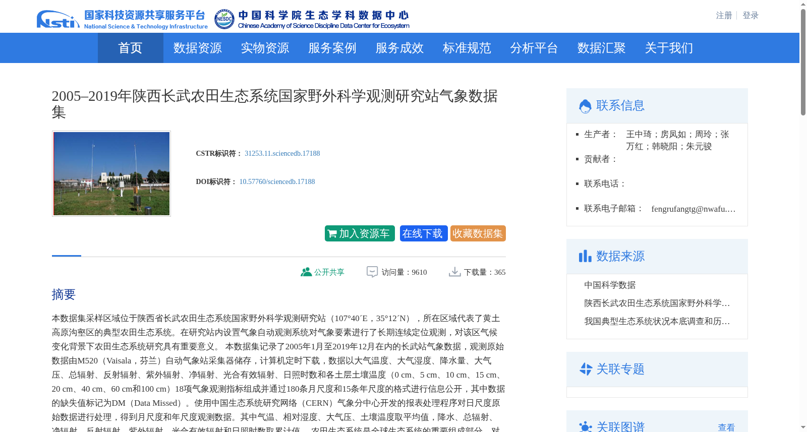
2005–2019年陕西长武农田生态系统国家野外科学观测研究站气象数据集
收藏资源简介:
本数据集采样区域位于陕西省长武农田生态系统国家野外科学观测研究站(107°40´E,35°12´N),所在区域代表了黄土高原沟壑区的典型农田生态系统。在研究站内设置气象自动观测系统对气象要素进行了长期连续定位观测,对该区气候变化背景下农田生态系统研究具有重要意义。 本数据集记录了2005年1月至2019年12月在内的长武站气象数据,观测原始数据由M520(Vaisala,芬兰)自动气象站采集器储存,计算机定时下载,数据以大气温度、大气湿度、降水量、大气压、总辐射、反射辐射、紫外辐射、净辐射、光合有效辐射、日照时数和各土层土壤温度(0 cm、5 cm、10 cm、15 cm、20 cm、40 cm、60 cm和100 cm)18项气象观测指标组成并通过180条月尺度和15条年尺度的格式进行信息公开,其中数据的缺失值标记为DM(Data Missed)。使用中国生态系统研究网络(CERN)气象分中心开发的报表处理程序对日尺度原始数据进行处理,得到月尺度和年尺度观测数据。其中气温、相对湿度、大气压、土壤温度取平均值,降水、总辐射、净辐射、反射辐射、紫外辐射、光合有效辐射和日照时数取累计值。 农田生态系统是全球生态系统的重要组成部分,对于维持生态平衡和支持人类粮食生产至关重要,其特有的气象数据承载着极大的价值,为农业管理等工作提供了必要的信息支持。本数据集数据涵盖了降水、温度、湿度、气压等关键气象因素,有助于农民优化农作物的种植时机和管理方式,提高产量并应对自然灾害的风险。因此,这些数据对于促进旱地农业发展和维护生态平衡具有重要意义。
This dataset was sampled at the Changwu National Field Scientific Observation and Research Station for Farmland Ecosystems in Shaanxi Province (107°40′E, 35°12′N), which represents a typical farmland ecosystem in the gully region of the Loess Plateau. A long-term continuous in-situ observation of meteorological elements has been conducted via an automatic meteorological observation system installed at the station, which is of great significance for studies on farmland ecosystems under the background of regional climate change. This dataset records meteorological data from the Changwu Station from January 2005 to December 2019. The original observational data was stored by an M520 (Vaisala, Finland) automatic weather station collector and downloaded regularly by computers. The dataset consists of 18 meteorological observation indicators, including air temperature, atmospheric humidity, precipitation, atmospheric pressure, global solar radiation, reflected radiation, ultraviolet radiation, net radiation, photosynthetically active radiation (PAR), sunshine duration, and soil temperatures at various soil layers (0 cm, 5 cm, 10 cm, 15 cm, 20 cm, 40 cm, 60 cm, and 100 cm). A total of 180 monthly-scale and 15 annual-scale datasets are publicly available, with missing values marked as DM (Data Missed). The daily-scale original data was processed using the report processing program developed by the Meteorological Sub-center of the Chinese Ecosystem Research Network (CERN) to generate monthly-scale and annual-scale observational data. Specifically, the mean values of air temperature, relative humidity, atmospheric pressure, and soil temperature were calculated, while cumulative values were used for precipitation, global solar radiation, net radiation, reflected radiation, ultraviolet radiation, PAR, and sunshine duration. Farmland ecosystems are an important component of global ecosystems, which are crucial for maintaining ecological balance and supporting human food production. The unique meteorological data contained herein carry significant value, providing essential information support for agricultural management and other related work. This dataset covers key meteorological factors such as precipitation, temperature, humidity, and atmospheric pressure, which can help farmers optimize crop planting timing and management practices, increase yields, and mitigate the risks of natural disasters. Therefore, these data are of great significance for promoting the development of dryland agriculture and maintaining ecological balance.