Satellite-Based Monitoring of Methane Emissions from China's Rice Hub
收藏资源简介:
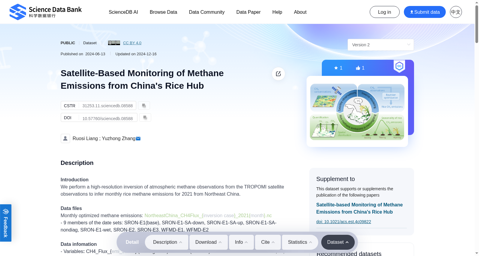
IntroductionWe perform a high-resolution inversion of atmospheric methane observations from the TROPOMI satellite observations to infer monthly rice methane emissions for 2021 from Northeast China.Data filesMonthly optimized methane emissions: NortheastChina_CH4Flux_{inversion case}_2021{month}.nc- 9 members of the date sets: SRON-E1(base), SRON-E1-SA-down, SRON-E1-SA-up, SRON-E1-SA-nondiag, SRON-E1-wet, SRON-E2, SRON-E3, WFMD-E1, WFMD-E2Data infomation- Variables: CH4_Flux_{emi_sector} (unit: kg/m2/s) and area (unit: m2). Emission sectors include coal, oil, gas, wastewater, livestock, landfills, rice, wetlands, seeps, termites, biosmass burning, and other anthropogenic- Spatial resolution: 0.5° x 0.625°- Period: the year 2021- Domain: Northeast China (39°N – 54°N, 119°E – 137°E)
引言:本研究基于TROPOMI卫星观测获取的大气甲烷观测数据开展高分辨率反演,以推算中国东北地区2021年逐月稻田甲烷排放量。 数据文件:逐月优化甲烷排放数据的命名格式为NortheastChina_CH4Flux_{inversion case}_2021{month}.nc。本数据集共包含9组成员:SRON-E1(基准组)、SRON-E1-SA-down、SRON-E1-SA-up、SRON-E1-SA-nondiag、SRON-E1-wet、SRON-E2、SRON-E3、WFMD-E1、WFMD-E2。 数据信息: - 变量:包含CH4_Flux_{emi_sector}(单位:kg/m²/s)与区域面积(单位:m²)。排放源类别涵盖煤炭、石油、天然气、污水处理、畜牧养殖、垃圾填埋、稻田、湿地、渗漏、白蚁、生物质燃烧及其他人为排放源; - 空间分辨率:0.5°×0.625°; - 时间范围:2021年; - 研究区域:中国东北地区(北纬39°至54°,东经119°至137°)