拉萨河流域典型山坡高精度地形数据(2023)
收藏资源简介:
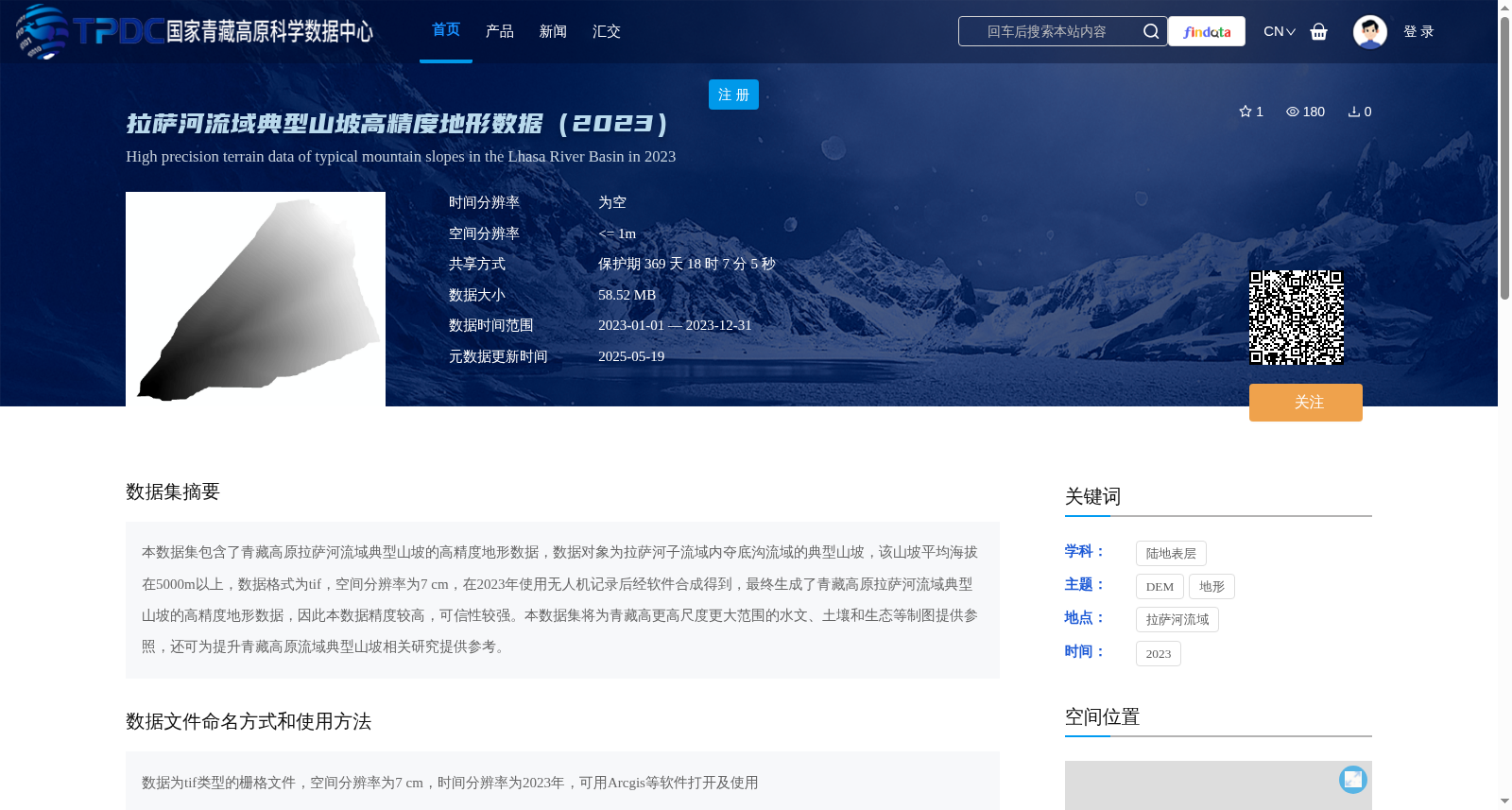
本数据集包含了青藏高原拉萨河流域典型山坡的高精度地形数据,数据对象为拉萨河子流域内夺底沟流域的典型山坡,该山坡平均海拔在5000m以上,数据格式为tif,空间分辨率为7 cm,在2023年使用无人机记录后经软件合成得到,最终生成了青藏高原拉萨河流域典型山坡的高精度地形数据,因此本数据精度较高,可信性较强。本数据集将为青藏高更高尺度更大范围的水文、土壤和生态等制图提供参照,还可为提升青藏高原流域典型山坡相关研究提供参考。
This dataset contains high-precision topographic data of typical hillslopes in the Lhasa River Basin, Qinghai-Tibet Plateau. The target objects are the typical hillslopes within the Duodigou Basin, a sub-basin of the Lhasa River. These hillslopes have an average elevation of over 5000 meters. The data is stored in TIFF format, with a spatial resolution of 7 cm. It was collected via unmanned aerial vehicle (UAV) surveys in 2023 and then synthesized using professional geospatial software. The final product is the high-precision topographic data of typical hillslopes in the Lhasa River Basin, Qinghai-Tibet Plateau, which features high accuracy and strong credibility. This dataset can provide reference baselines for hydrological, soil and ecological mapping at larger scales and broader regions across the Qinghai-Tibet Plateau, and also offer valuable support for relevant studies on typical hillslopes in river basins of the Qinghai-Tibet Plateau.