GLH-water
收藏资源简介:
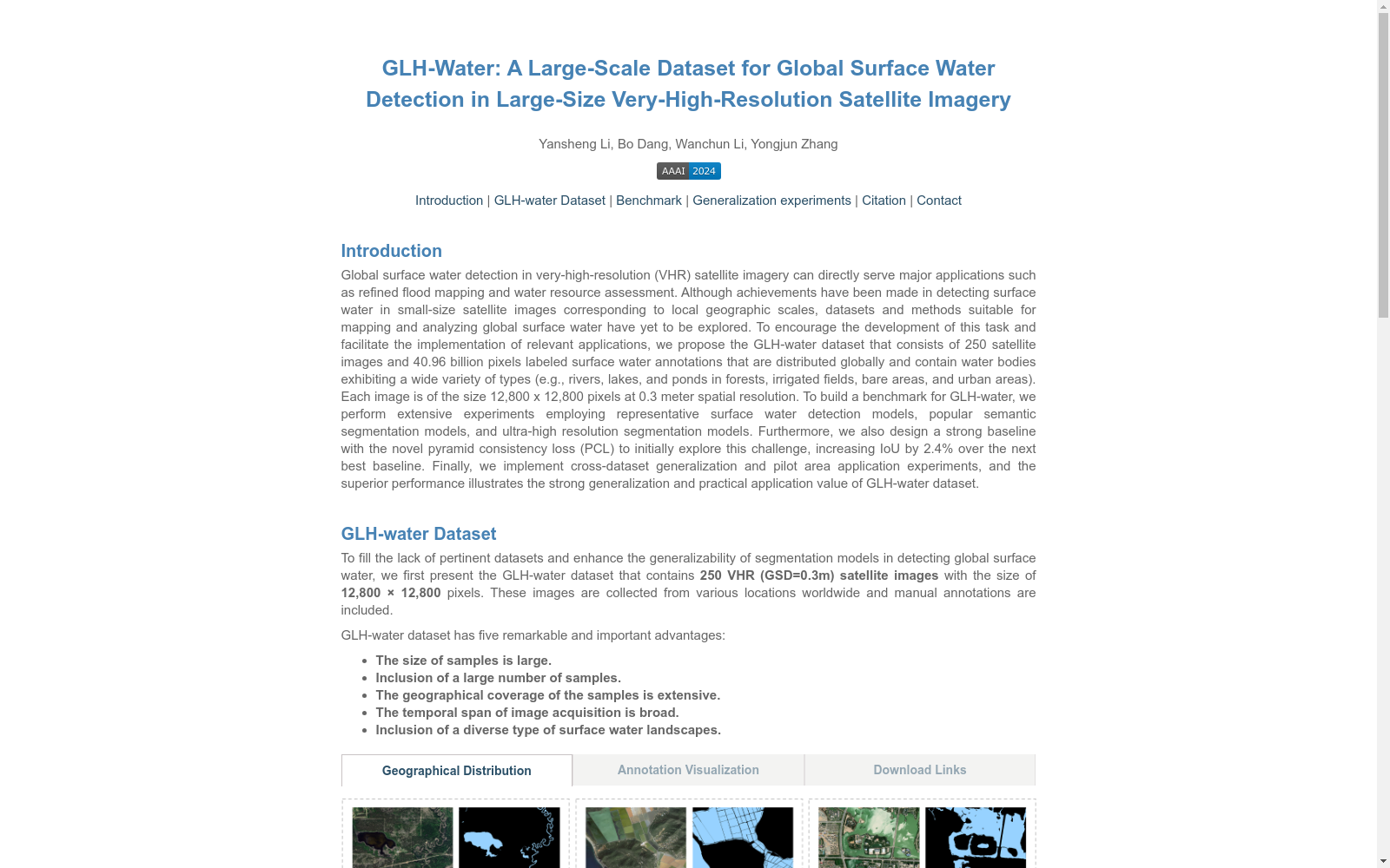
GLH-water是由武汉大学创建的大规模数据集,包含250张全球分布的极高分辨率(0.3米)卫星图像,每张图像大小为12,800×12,800像素。该数据集通过人工标注和专家检查,涵盖了多种水体类型,如河流、湖泊和池塘等,分布在森林、灌溉田、裸地和城市区域。GLH-water旨在推动全球表面水体检测的研究,特别是在大尺寸VHR光学卫星图像上的应用,如精细洪水制图和水资源评估。数据集的广泛地理覆盖、多样化的水体类型和广泛的图像获取时间跨度,使其在表面水体检测领域具有独特的优势和挑战。
GLH-water is a large-scale dataset developed by Wuhan University. It contains 250 globally distributed extremely high-resolution (0.3-meter) satellite images, each with a size of 12,800 × 12,800 pixels. The dataset was manually annotated and reviewed by experts, covering various water body types such as rivers, lakes, ponds and others, and distributed across forests, irrigated farmlands, bare lands and urban areas. GLH-water aims to advance research on global surface water detection, particularly applications on large-format very high-resolution (VHR) optical satellite images, such as fine-scale flood mapping and water resource assessment. The extensive geographic coverage, diverse water body types and wide temporal span of image acquisition endow the dataset with unique advantages and challenges in the field of surface water detection.